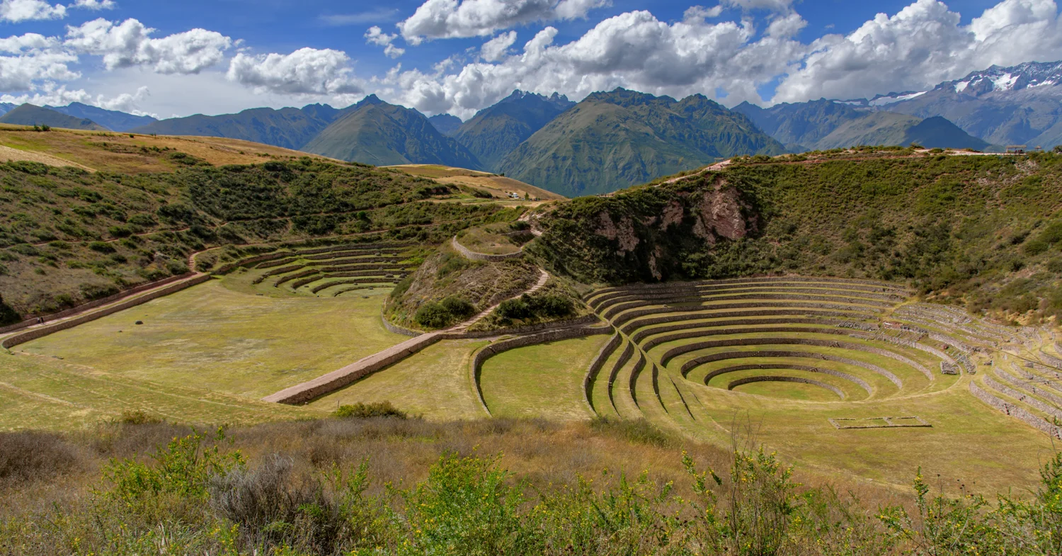
Sacred Valley · Maras plateau
Moray
An agricultural landscape drawn in circles
12 photographs · Explore the site →PERU · AN ILLUSTRATED FIELD GUIDE
From the circles of Moray to Cusco’s sacred places and the mountain settlements of the Inca Trail.
Explore 16 sites through my photographs, archaeological history and a closer look at what makes each place distinctive.
A ruin is more than a name on an itinerary. The curve of a terrace, a doorway’s proportions or a wall above a city can open a different way of understanding a landscape.
This growing Peru guide follows places represented in my photographs: Cusco, Moray in the Sacred Valley region, and the classic Inca Trail to Machu Picchu. It is not a complete inventory of Peru’s archaeology. Each site has its own article, photographic studies and sources for further reading.
Five places beyond the classic Inca Trail. Explore the architecture of agriculture, sacred space and the approaches to the Inca capital.
An agricultural landscape drawn in circles
12 photographs · Explore the site →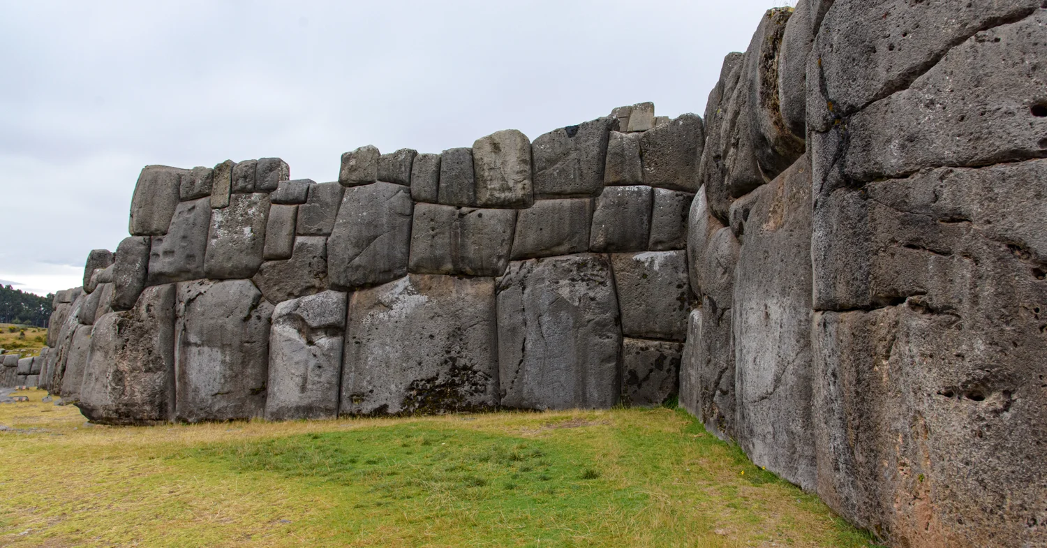
Monumental stonework above the Inca capital
18 photographs · Explore the site →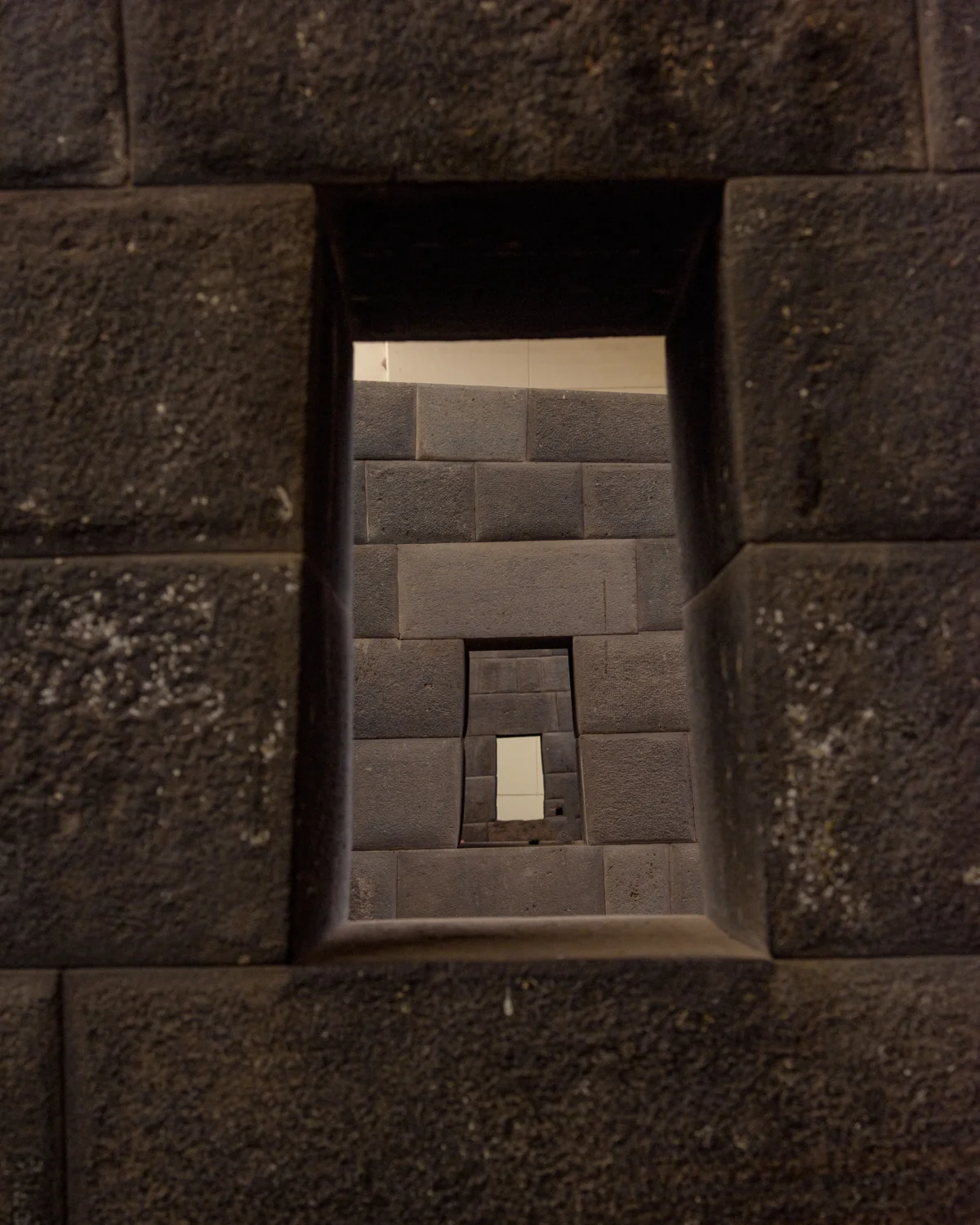
Inca stonework within a city of layered histories
5 photographs · Explore the site →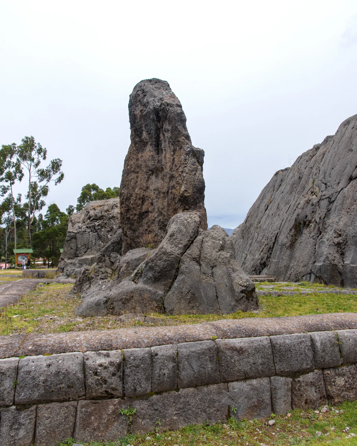
A place shaped around living rock
3 photographs · Explore the site →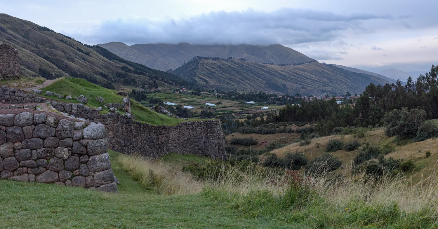
Doorways and terraces overlooking the approach to Cusco
10 photographs · Explore the site →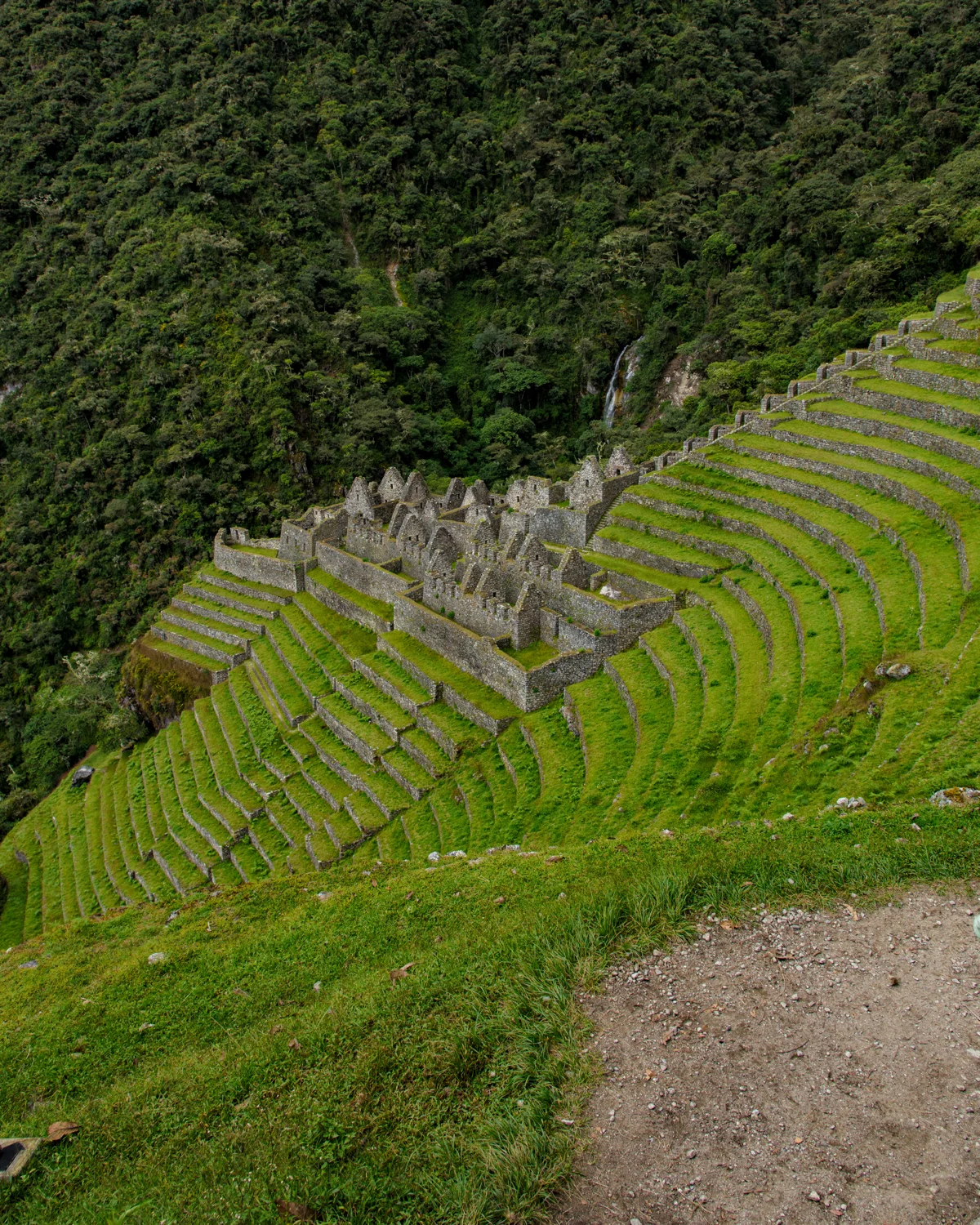
CONTINUE INTO THE MOUNTAINS
Eleven sites, 150 photographs and the route toward Machu Picchu. The existing trail guide is now one part of this wider Peru collection.
Explore the Inca Trail ruins →The guide separates visible architectural features from interpretations of their purpose. Photo locations use labeled sequences and comparisons of recognizable features; unidentified details are held for review. Historical sources are linked at the bottom of each article.
The photographs are mine. Reference images inform identification but are not reproduced in these galleries.
For site-specific research, follow the sources within each article.