Inca Trail · Site 11 of 11
Machu Picchu
The city within the mountains
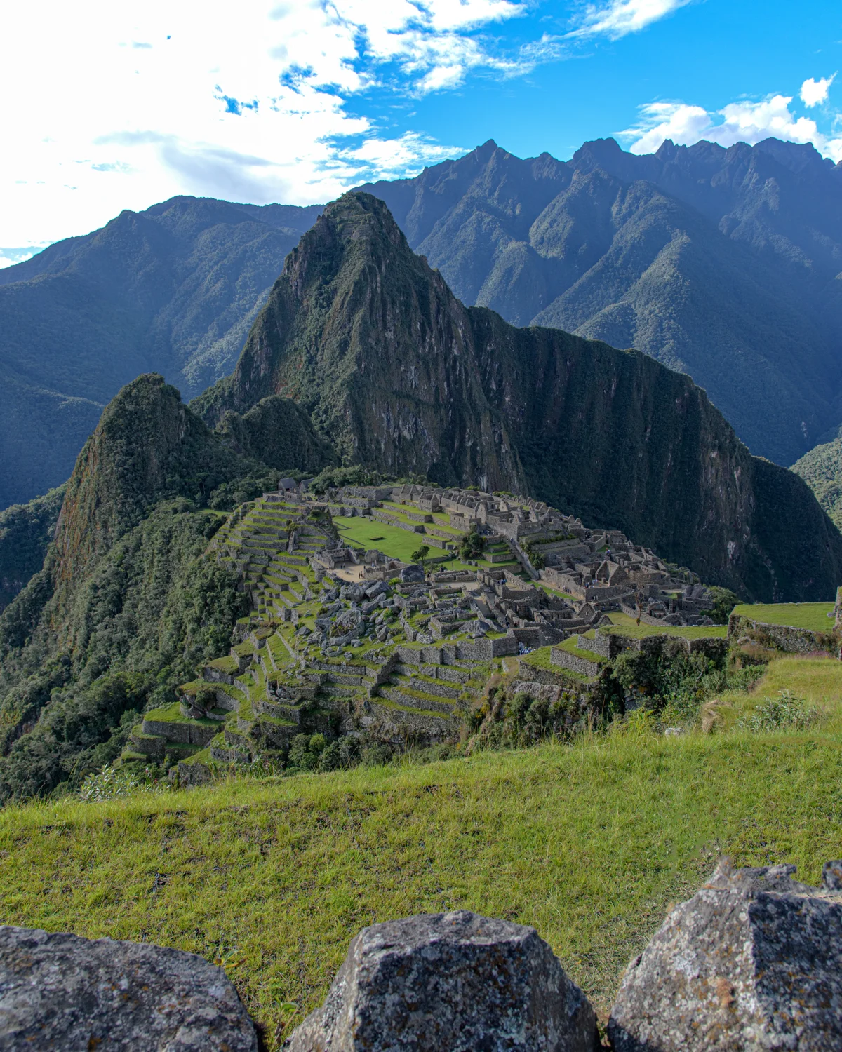
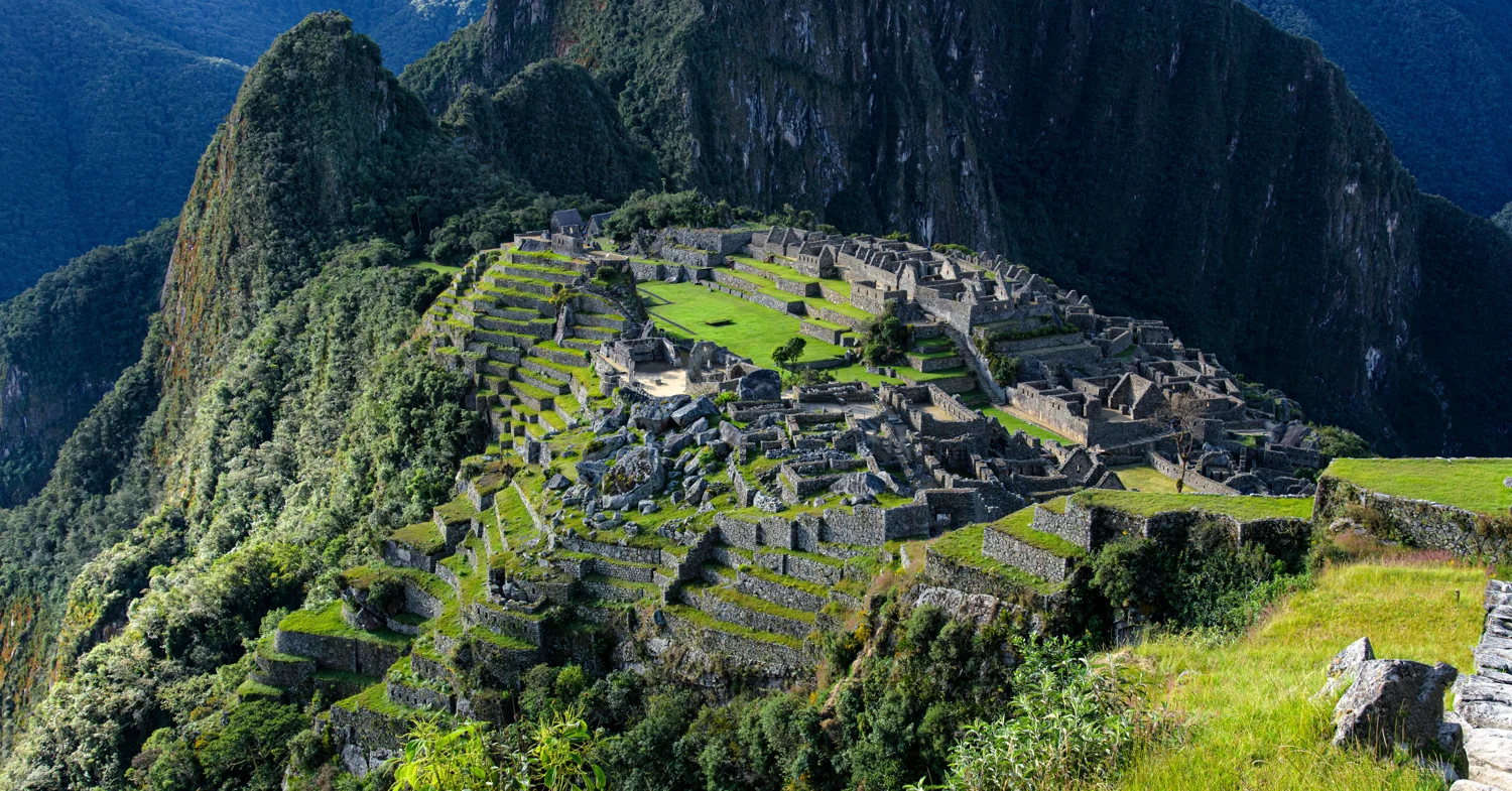
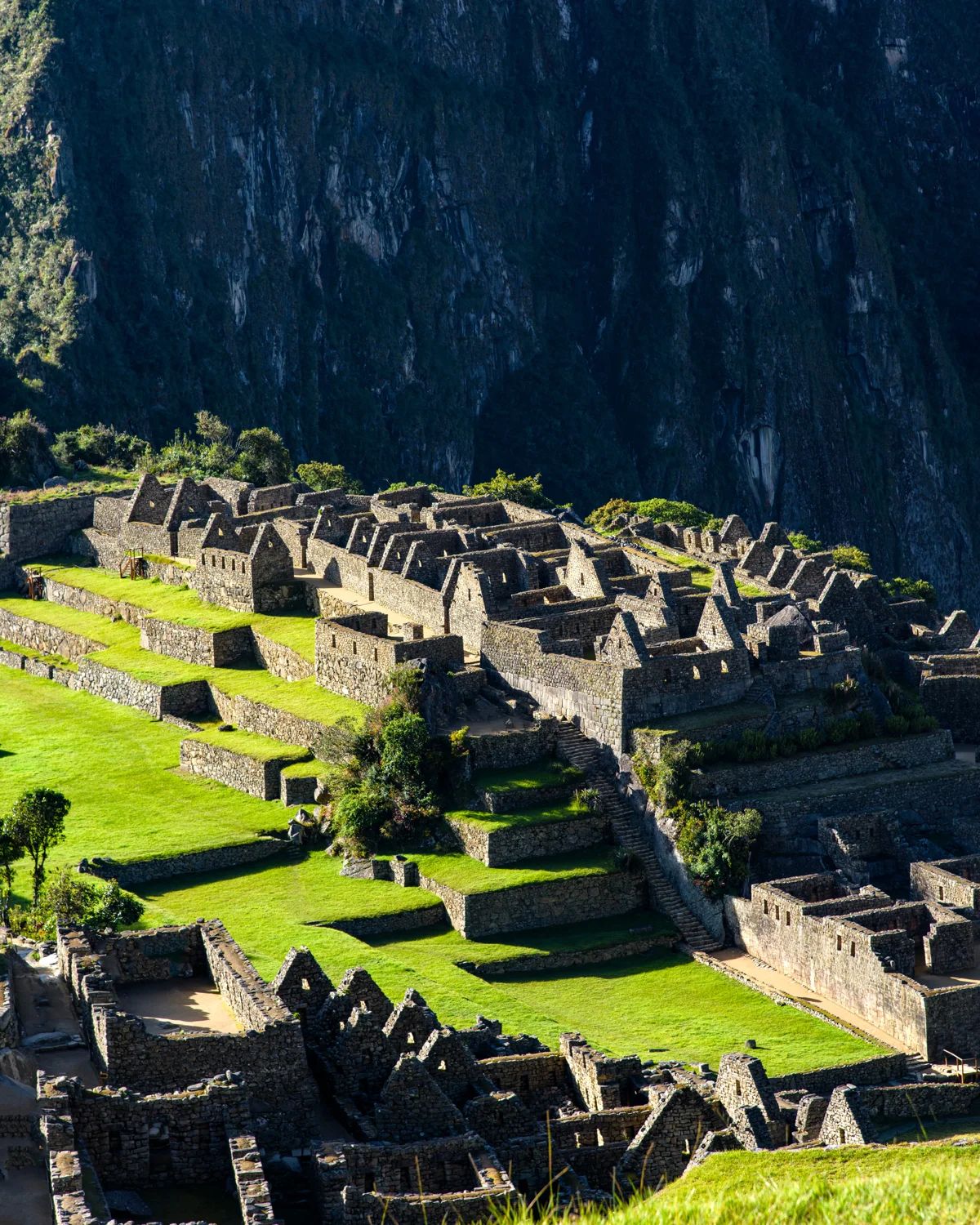
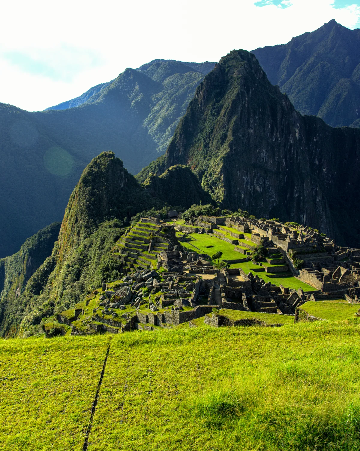
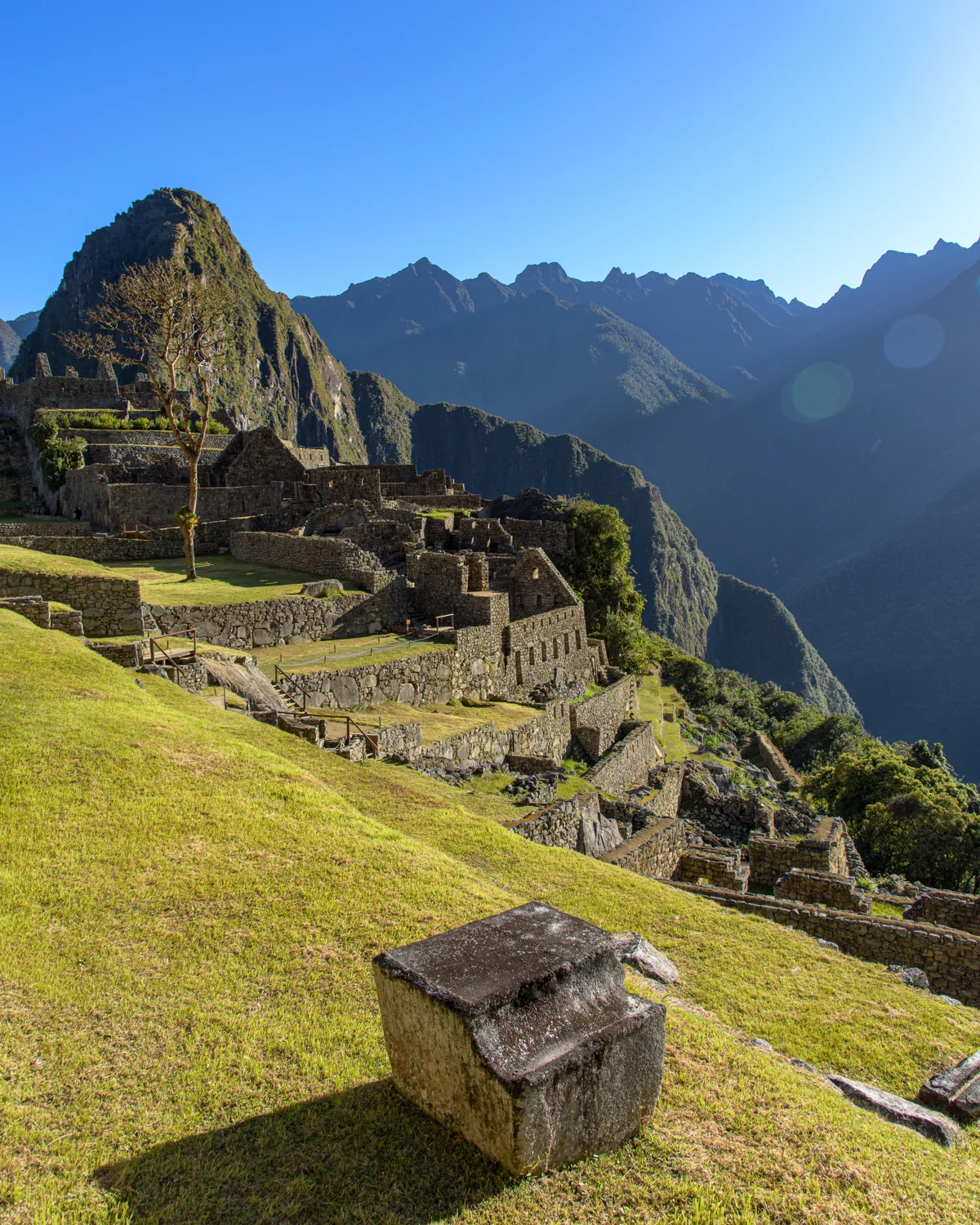
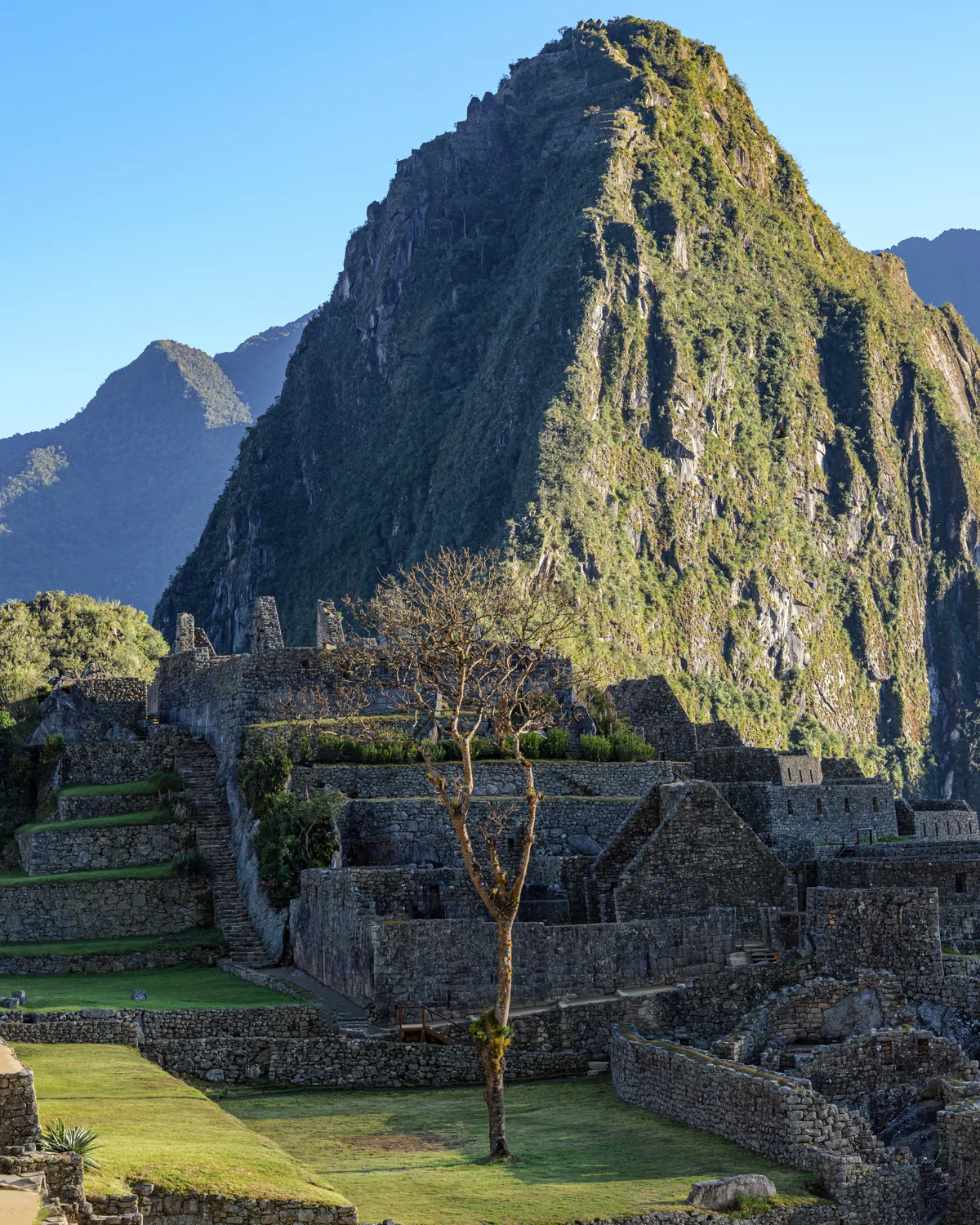
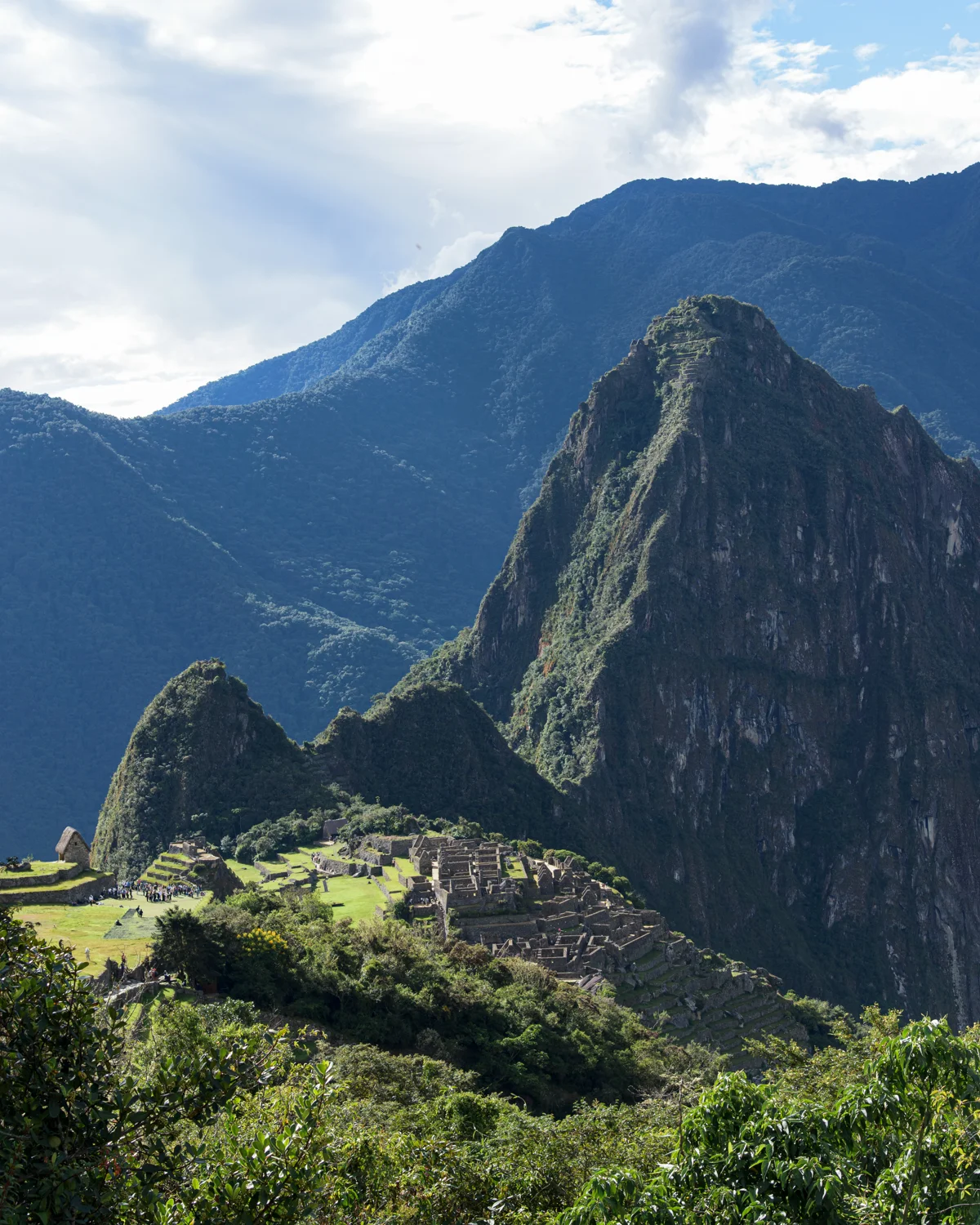
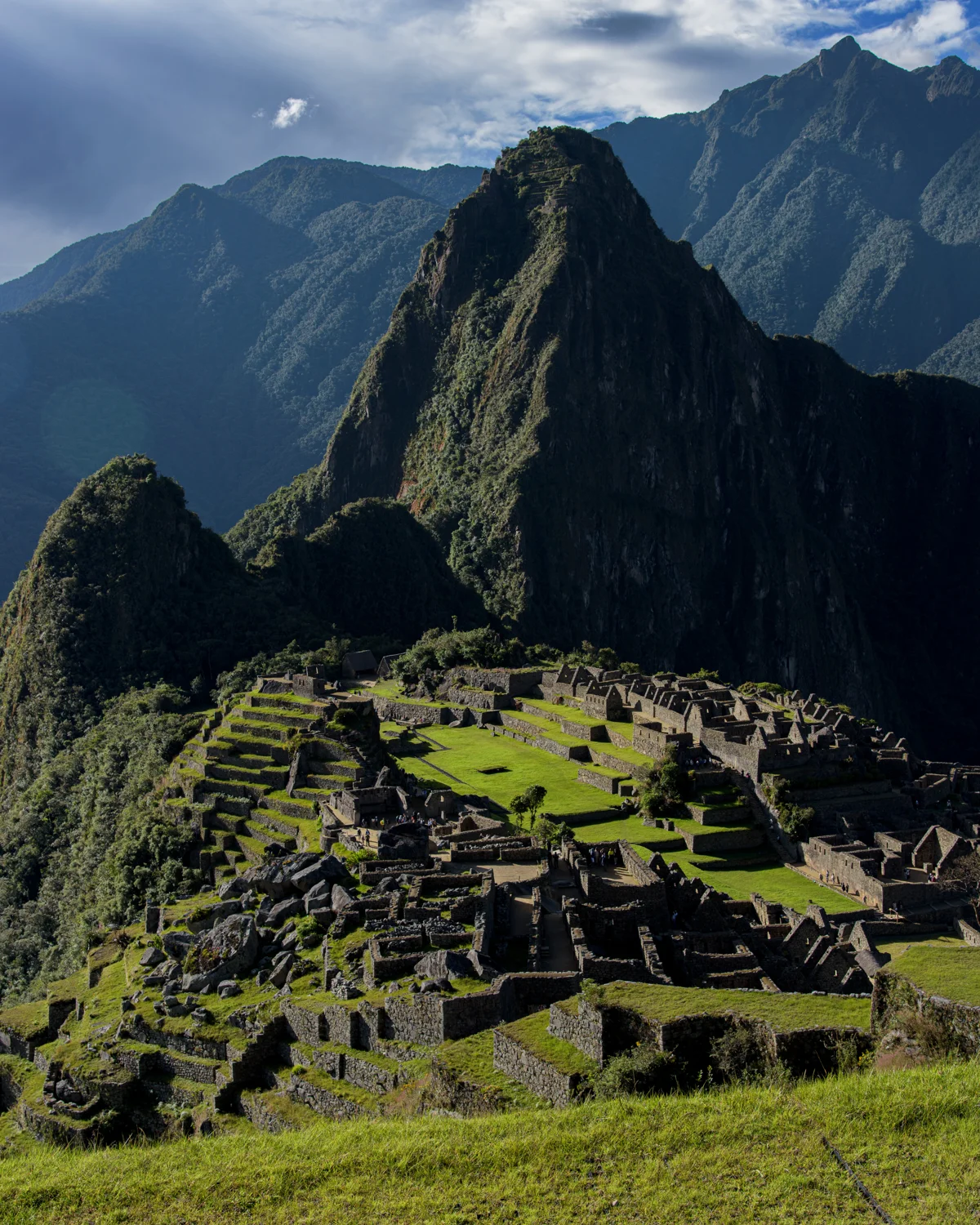
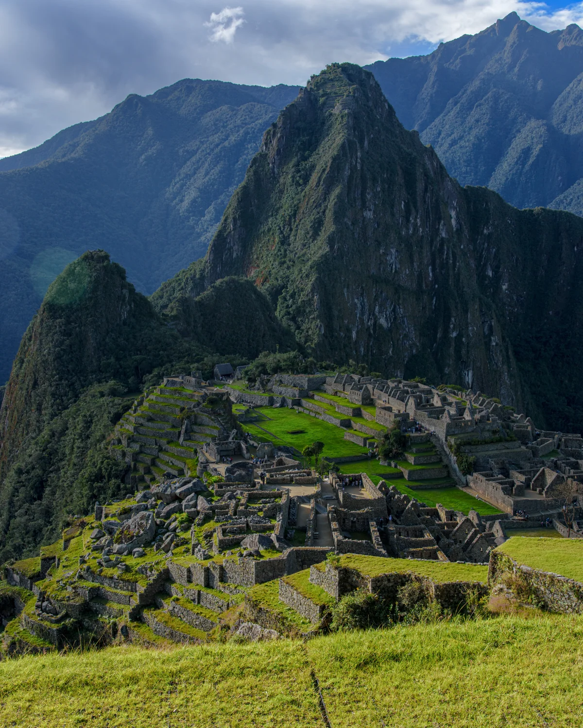
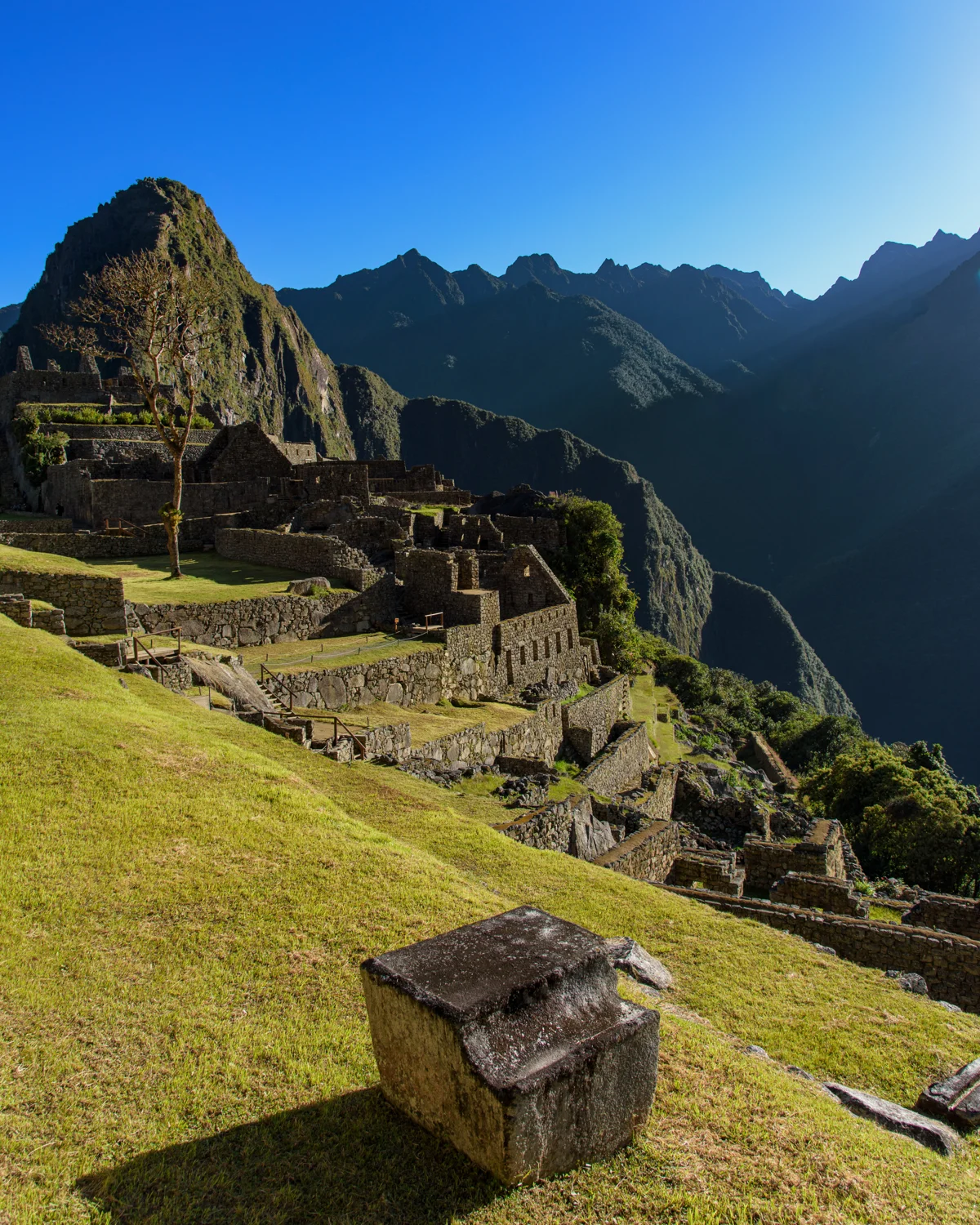
From a distance, Machu Picchu seems inseparable from the ridge beneath it. Inside the site, that single view becomes a network of terraces, stairways, open spaces and carefully fitted walls. This photographic sequence moves between those two scales.
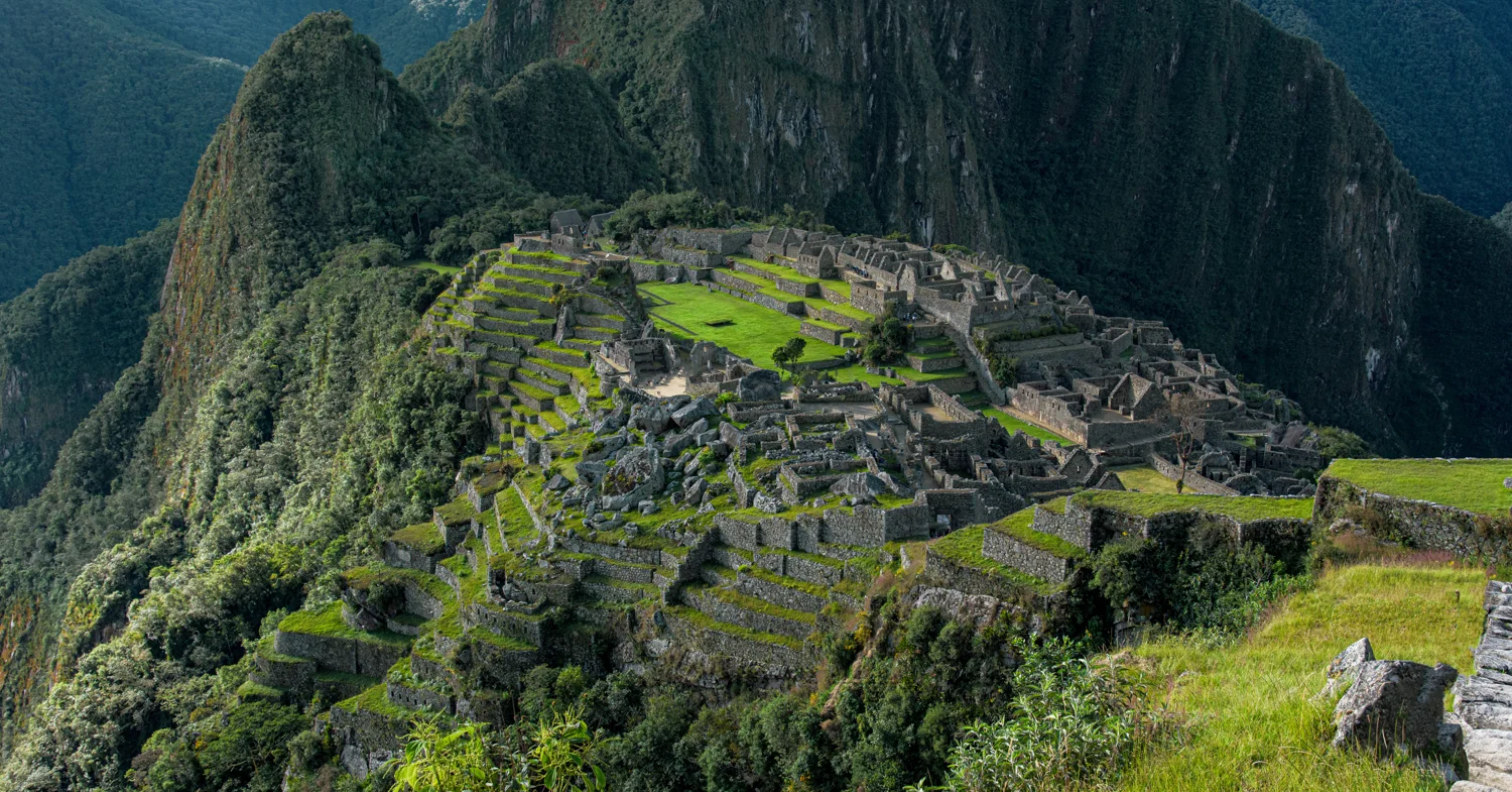
Understanding the site
UNESCO describes Machu Picchu as a fifteenth-century Inca site whose buildings, agricultural areas and engineering are closely integrated with its mountain environment. The sanctuary is recognized for both cultural and natural importance. Its famous setting is part of its significance, rather than simply a backdrop.
A chronology tested with scientific dating
Burger and colleagues published radiocarbon dates from human remains in Antiquity in 2021, proposing occupation around 1420–1532 CE. Their results challenged a chronology based principally on colonial accounts linking construction to Pachacuti. These are estimates of occupation, not a foundation inscription or proof that every building was finished at once. Scientific dates can revise the historical story while still leaving questions about individual construction phases open. [2]
Why the whole landscape matters
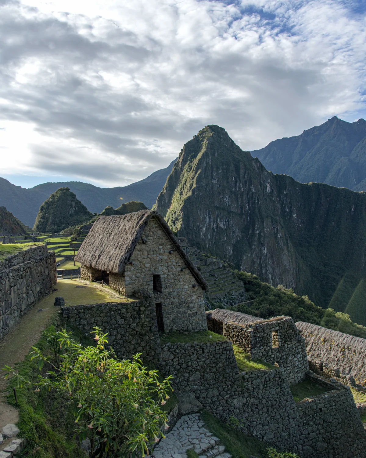
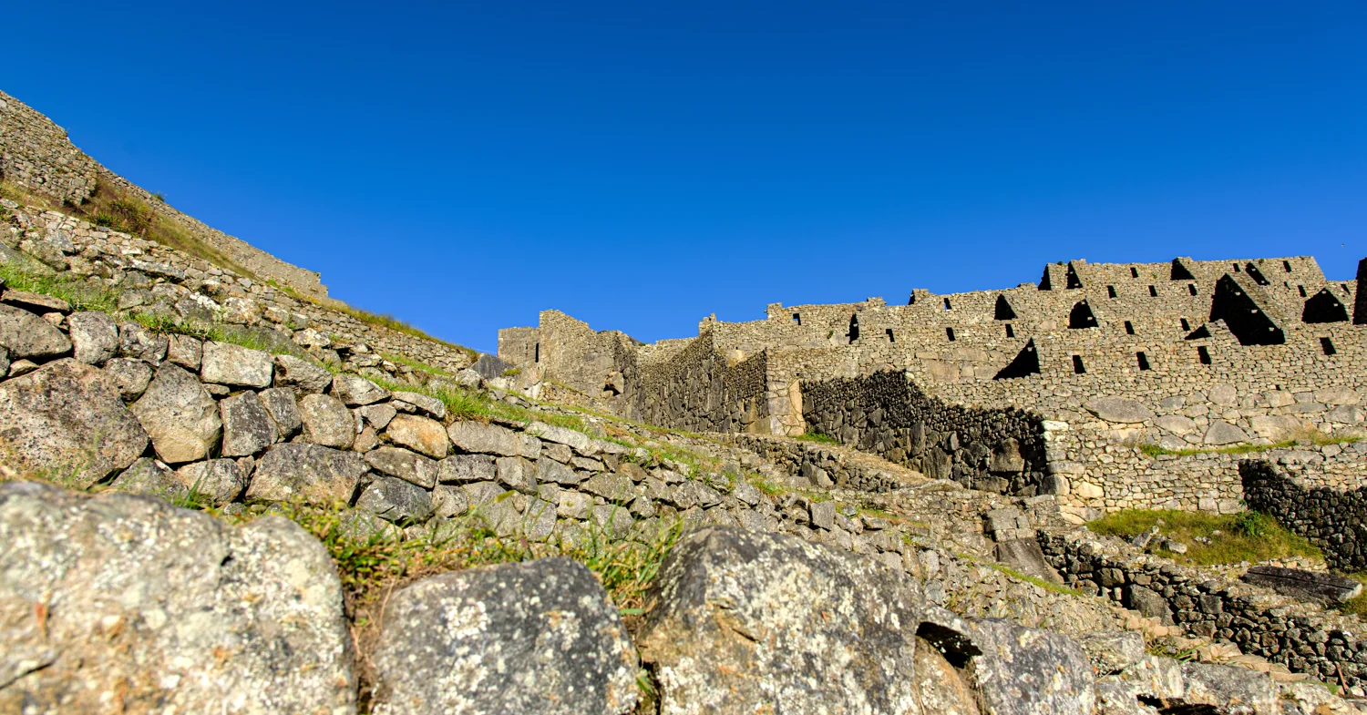
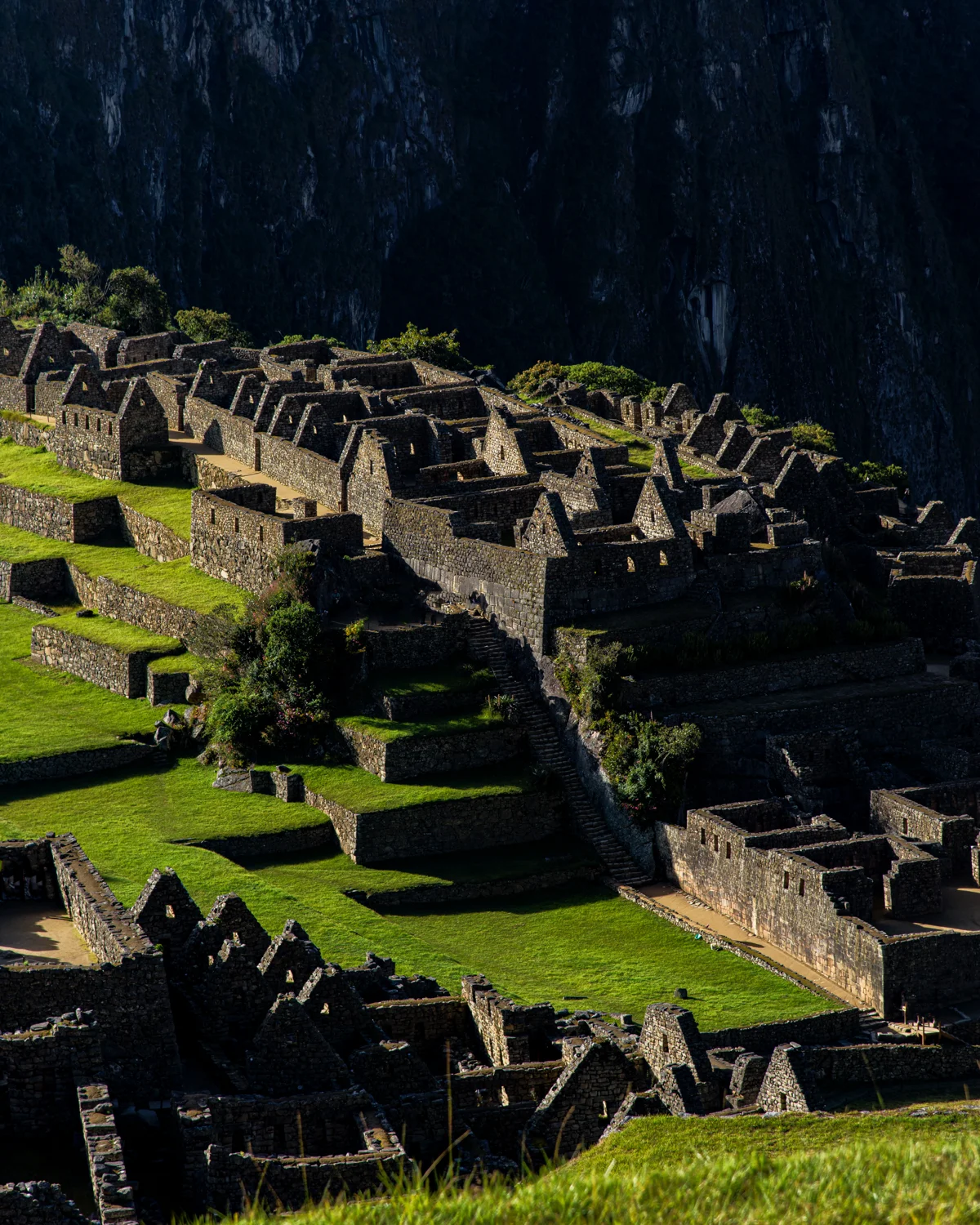
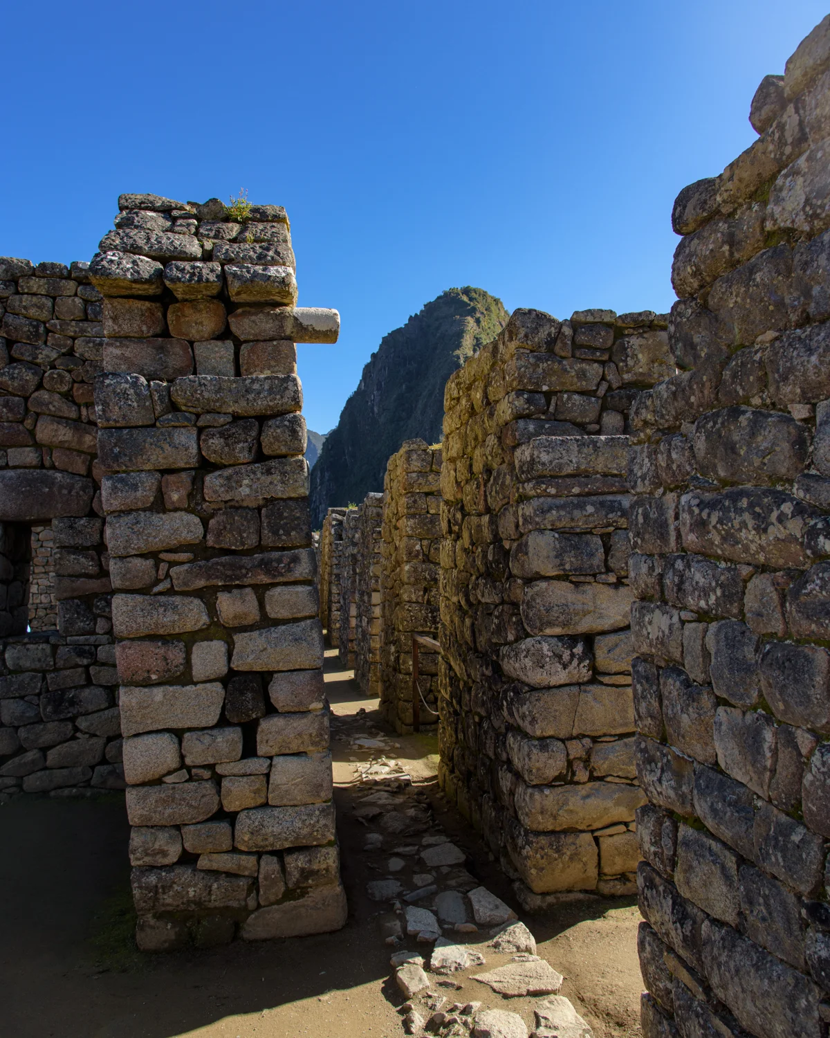
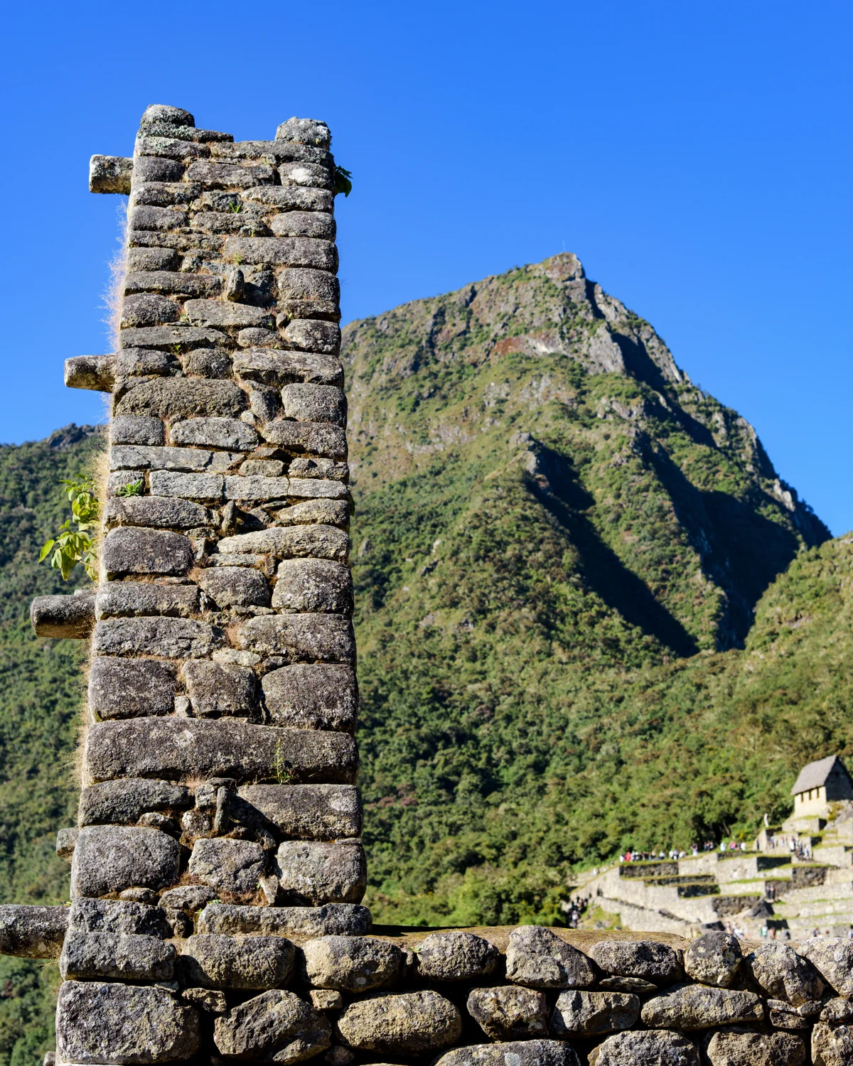
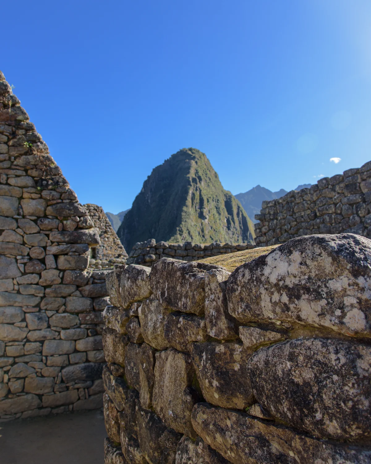
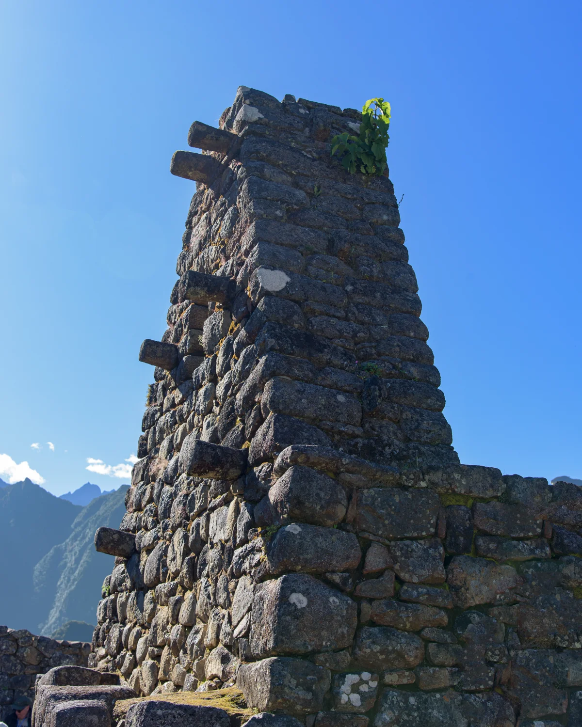
The panorama draws attention to the skyline, while passages and masonry reveal work at human scale. Neither view is complete without the other. A famous label for a structure can make it seem more fully understood than it is: its interpretation still depends on architecture, excavated material and context. These photographs remain descriptively captioned where the precise structure is uncertain. That preserves the difference between what the camera records and what archaeological research can establish.
Reading the landscape
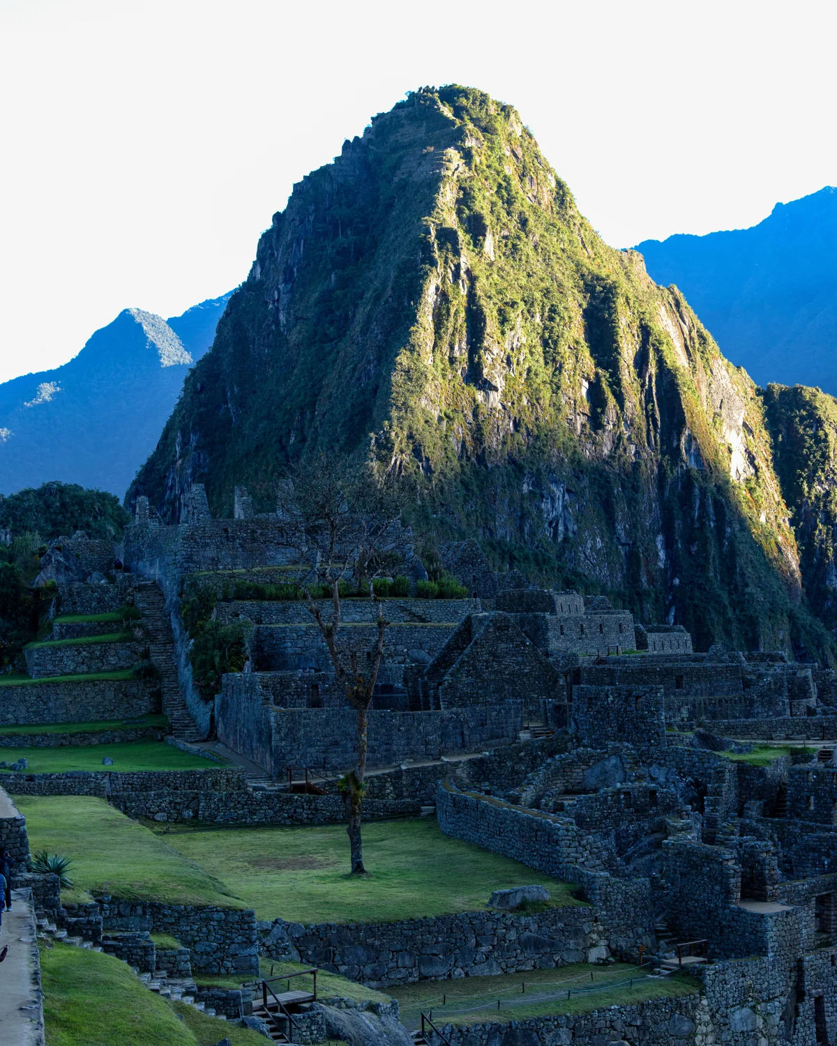
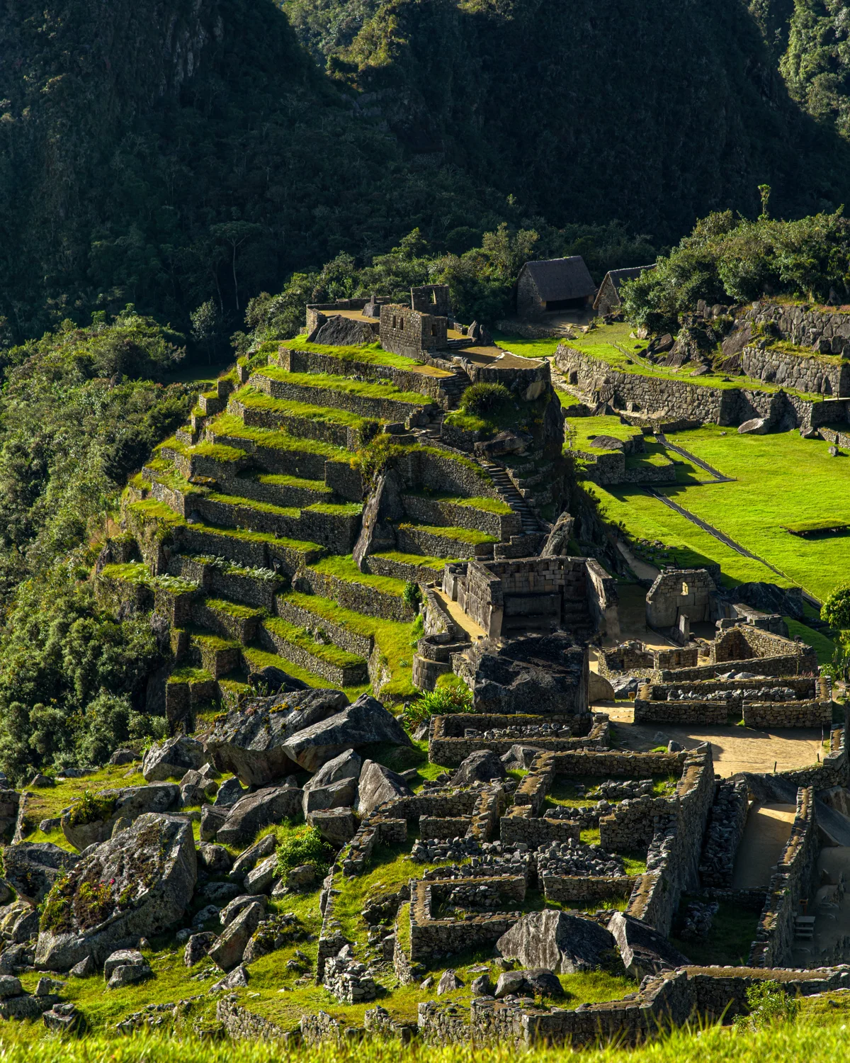
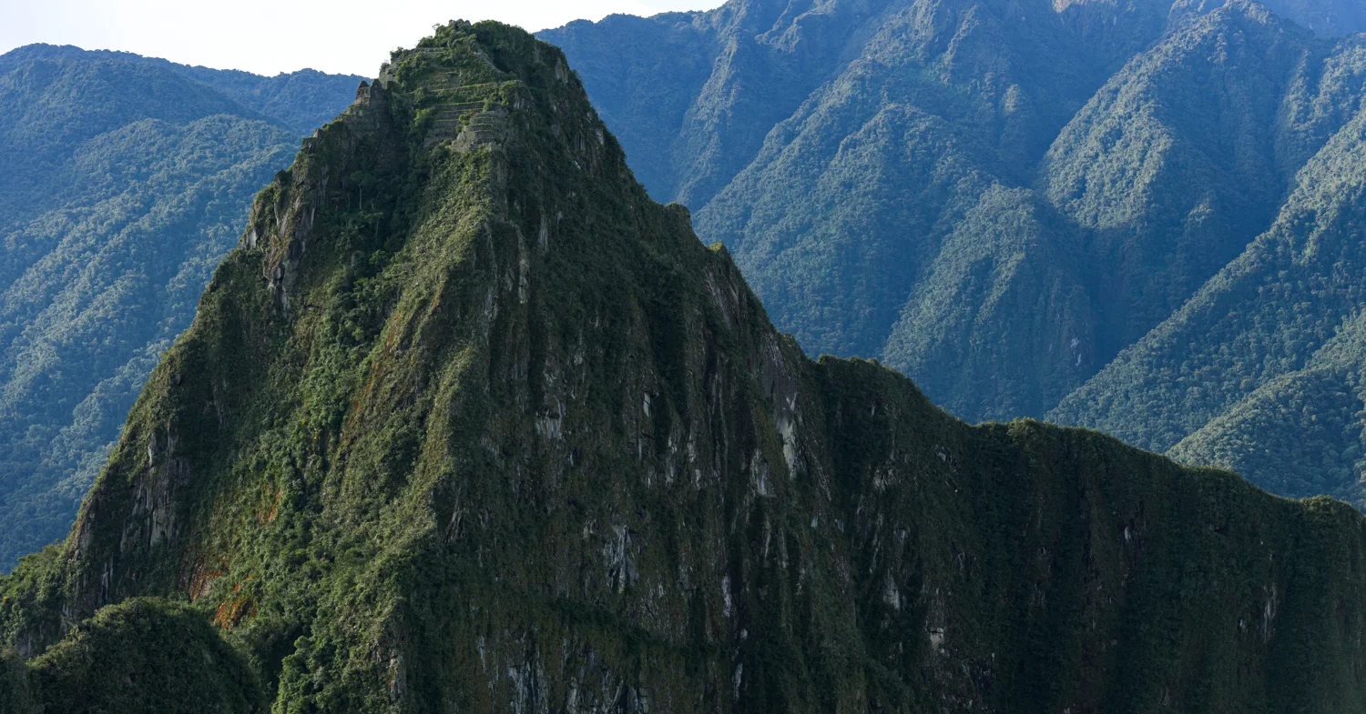
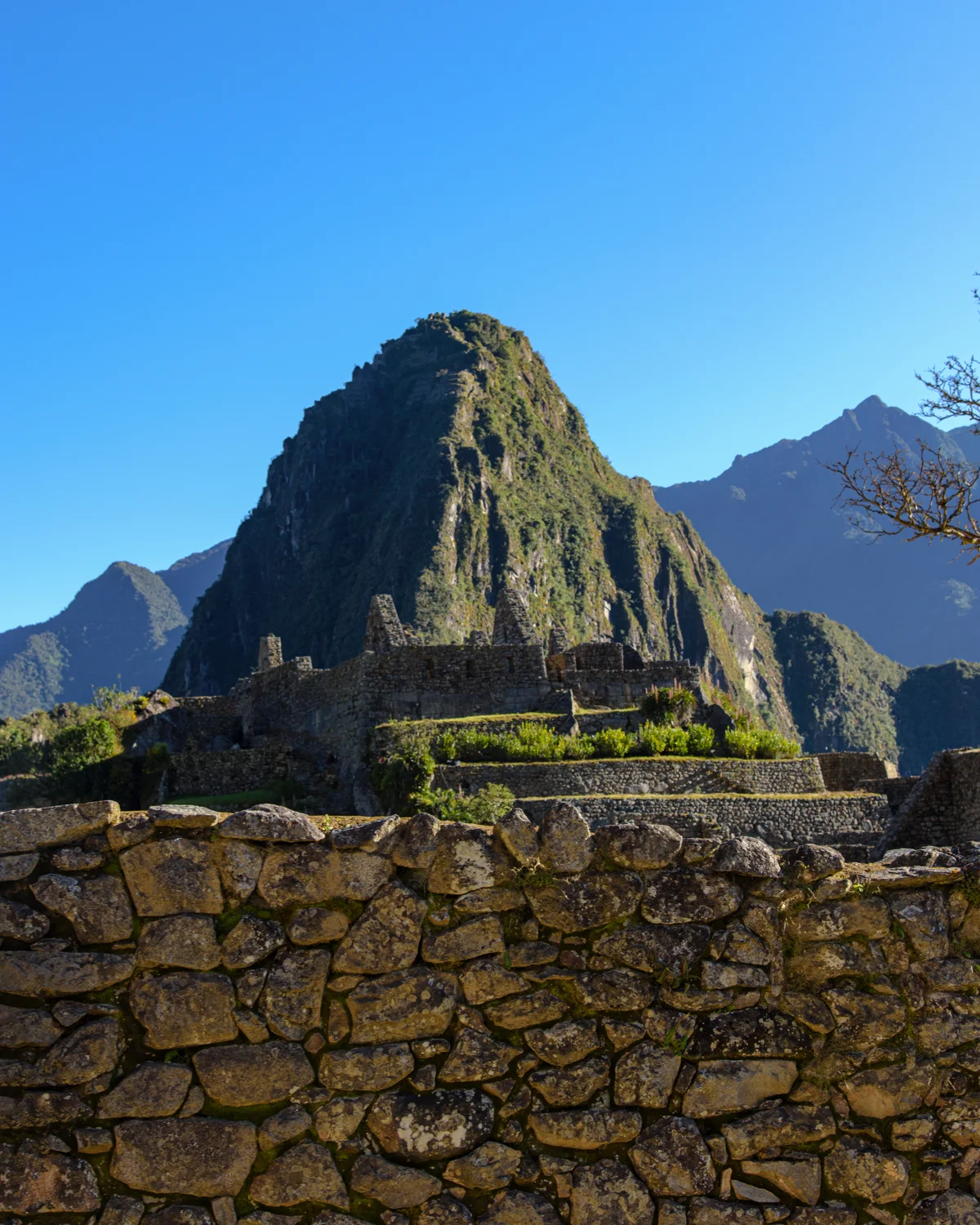
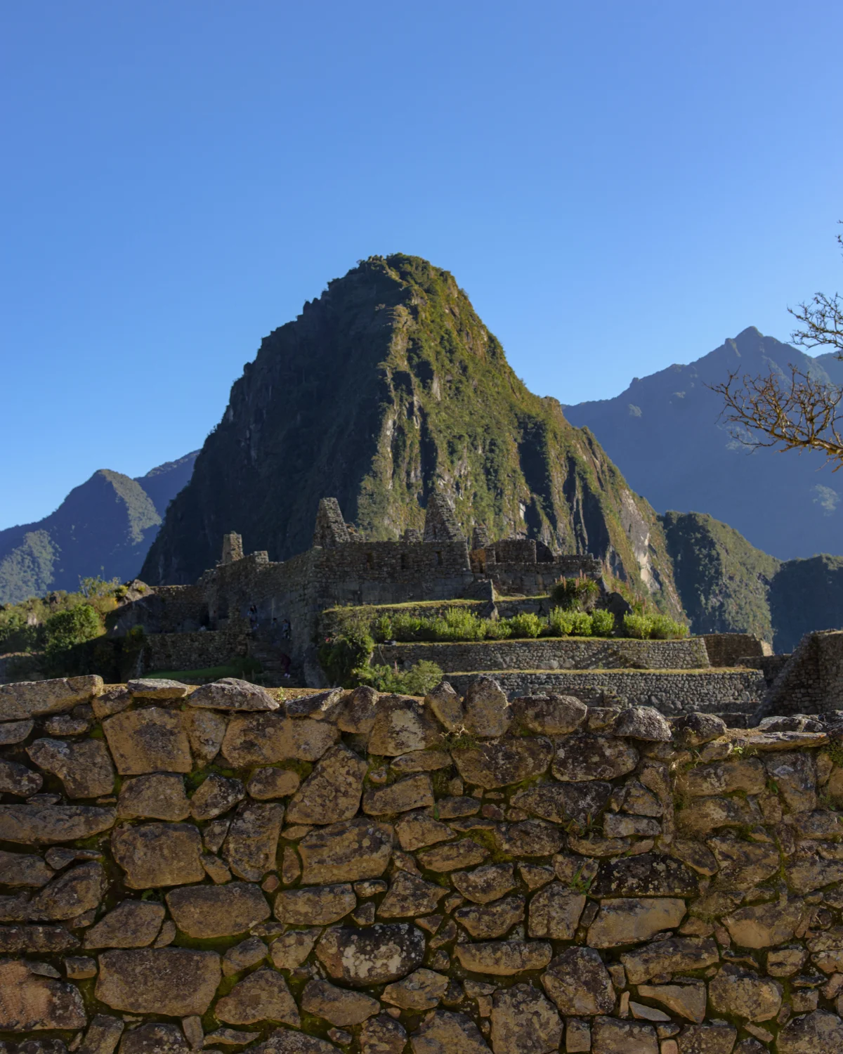
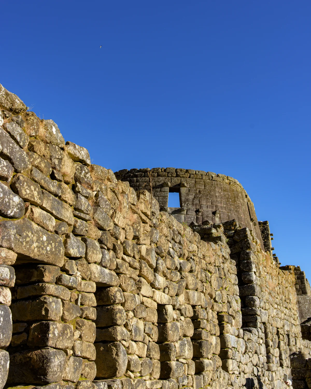
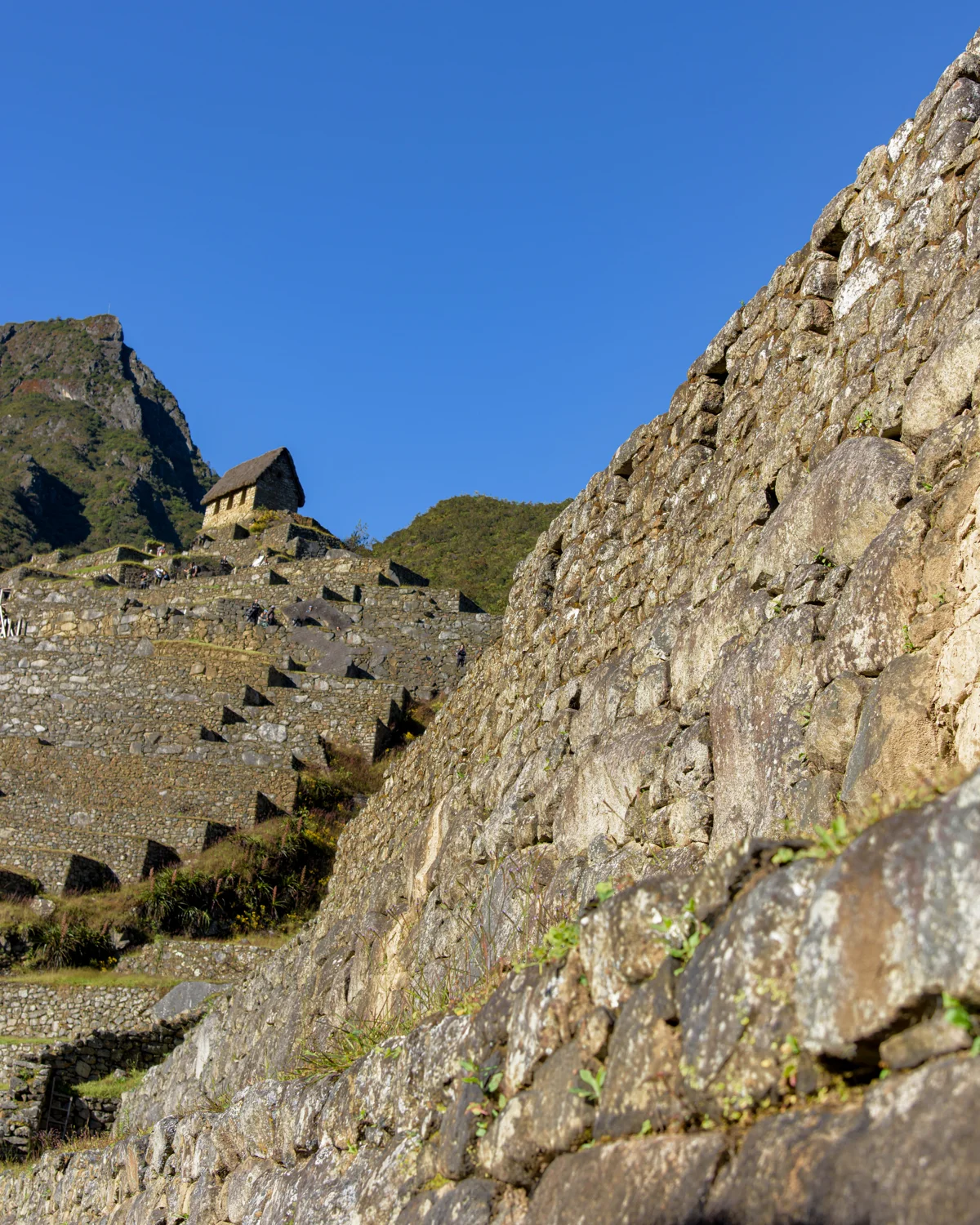
The overview photographs establish the recognizable peak and the arrangement of buildings below it. In the detail views, notice how built walls meet natural rock, how steps connect different levels, and how openings frame the landscape. I have kept those captions descriptive rather than assigning a temple or ceremonial name to every unidentified structure.
From my trail journal
My group reached the outside of Machu Picchu around 5 p.m. on the third day after our itinerary changed. We camped below the site near Aguas Calientes, then returned by bus for a guided visit the next day. Seeing the city close up finally made its scale feel real.
Look more closely
- Compare the agricultural terraces with the denser groups of buildings.
- Look for the meeting of natural outcrops and constructed masonry.
- Move between the overall city view and the passageway photographs.
Which detail changes your understanding of the distant, familiar postcard view?
Machu Picchu in photographs
My photographs from this site. Select an image to see the full frame.
View all 50 photographs
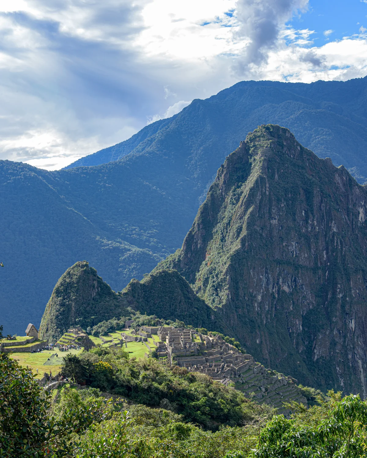
Photograph by Brandon Wichmann
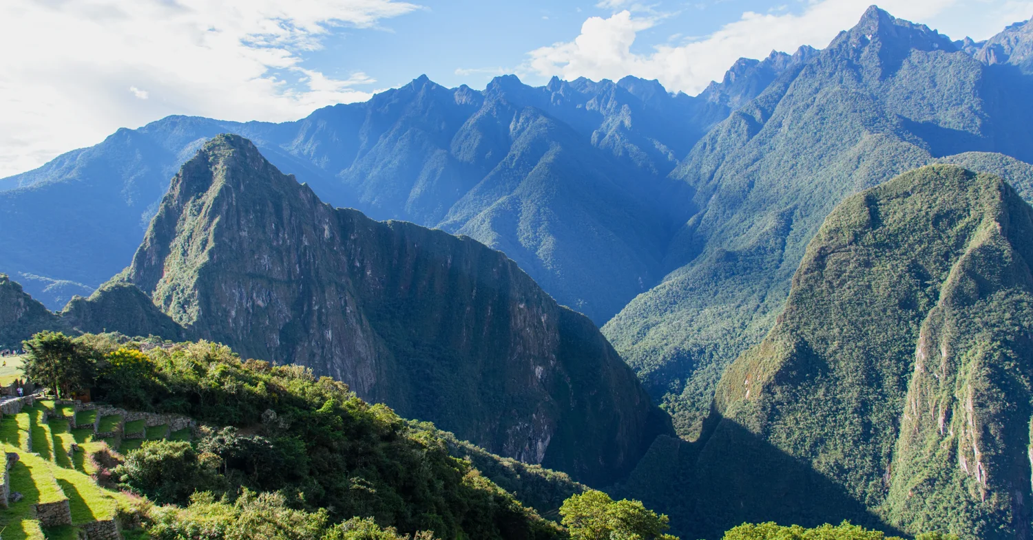
Photograph by Brandon Wichmann
Photograph by Brandon Wichmann
Photograph by Brandon Wichmann
Photograph by Brandon Wichmann
Photograph by Brandon Wichmann
Photograph by Brandon Wichmann
Photograph by Brandon Wichmann
Photograph by Brandon Wichmann
Photograph by Brandon Wichmann
Photograph by Brandon Wichmann
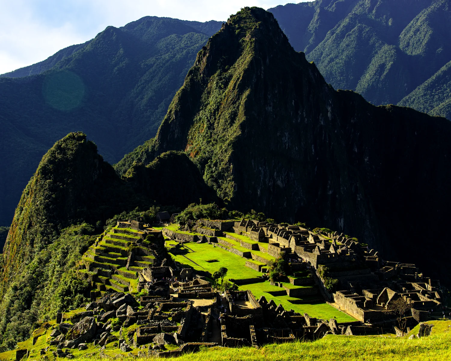
Photograph by Brandon Wichmann
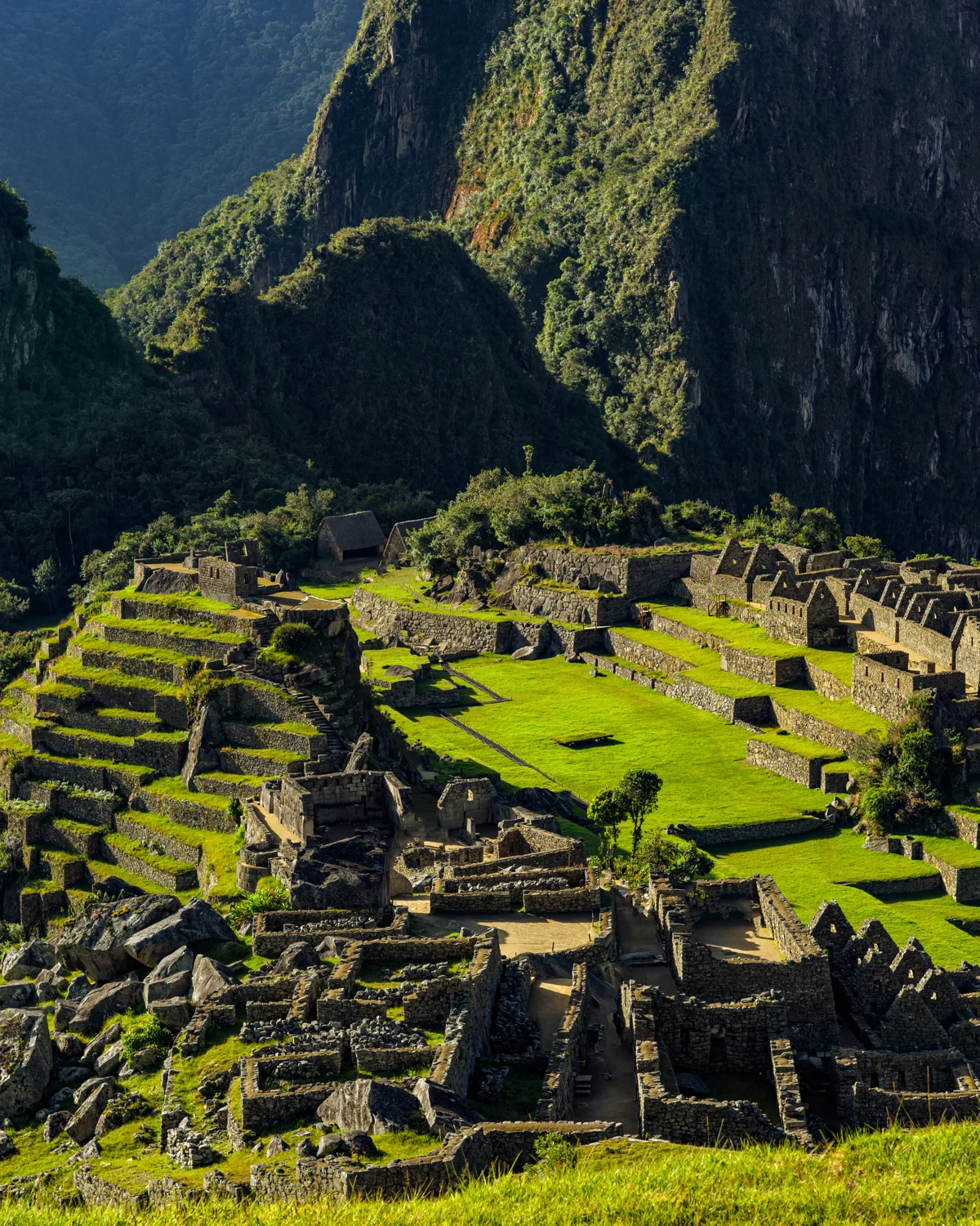
Photograph by Brandon Wichmann
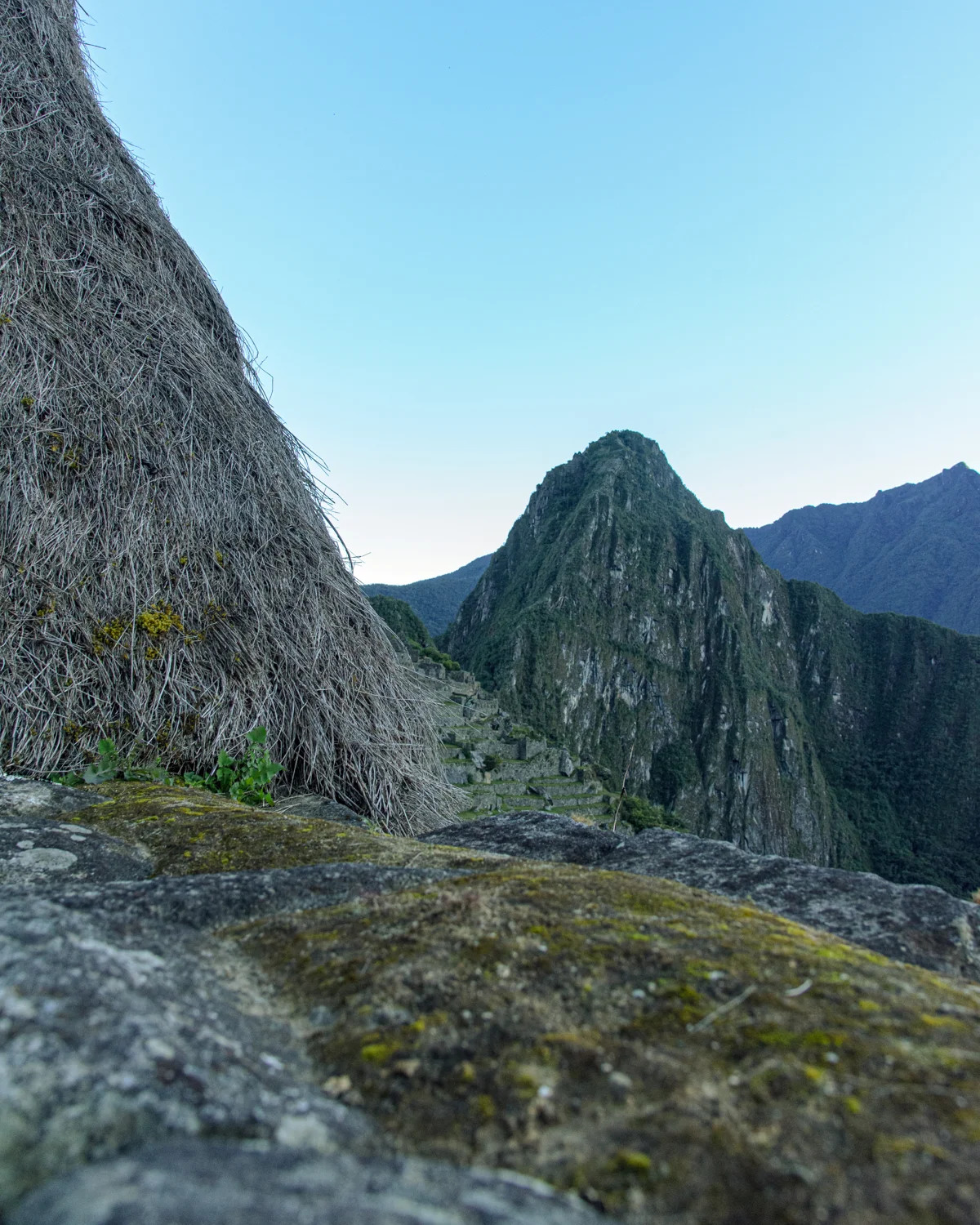
Photograph by Brandon Wichmann
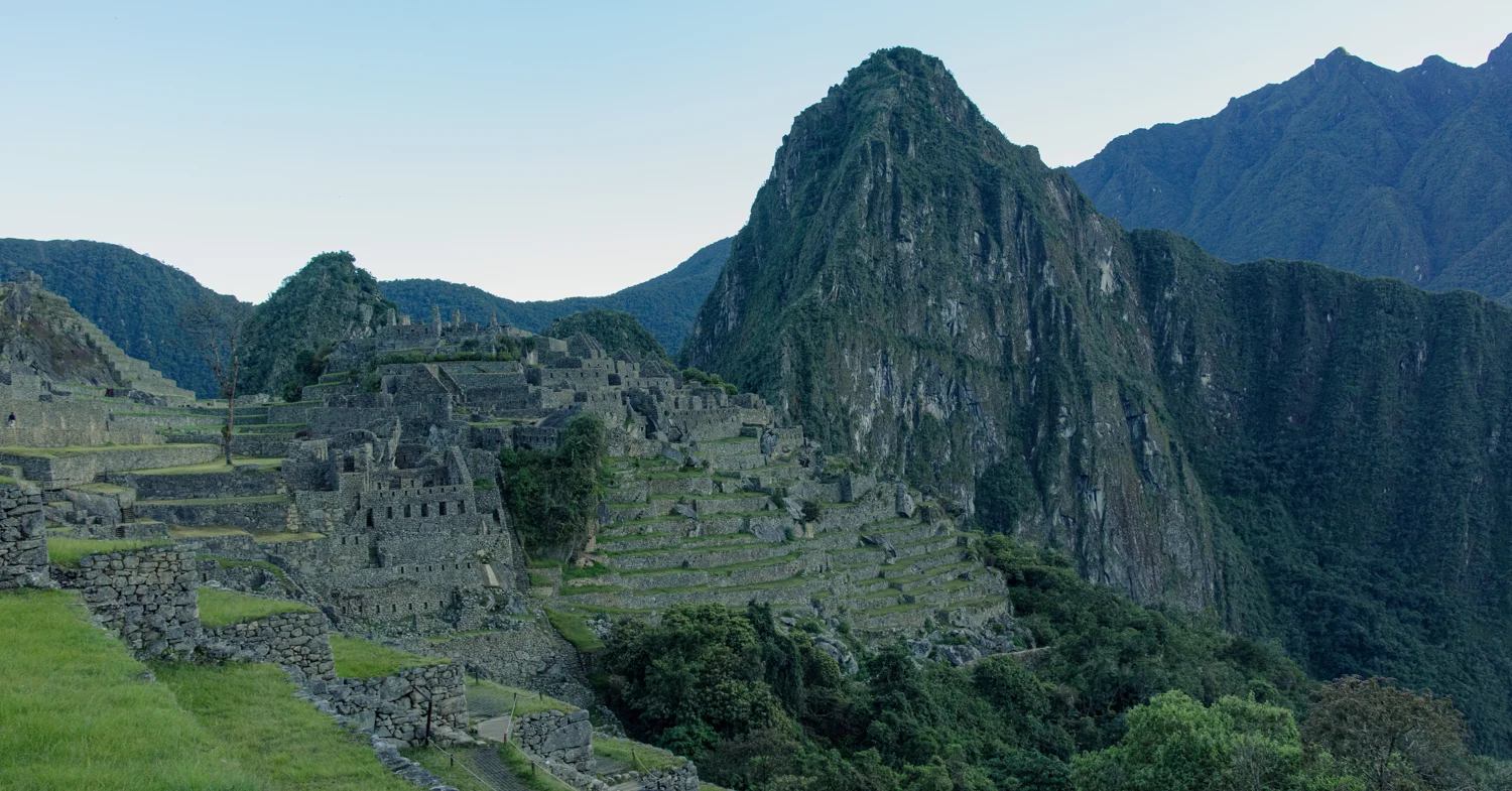
Photograph by Brandon Wichmann
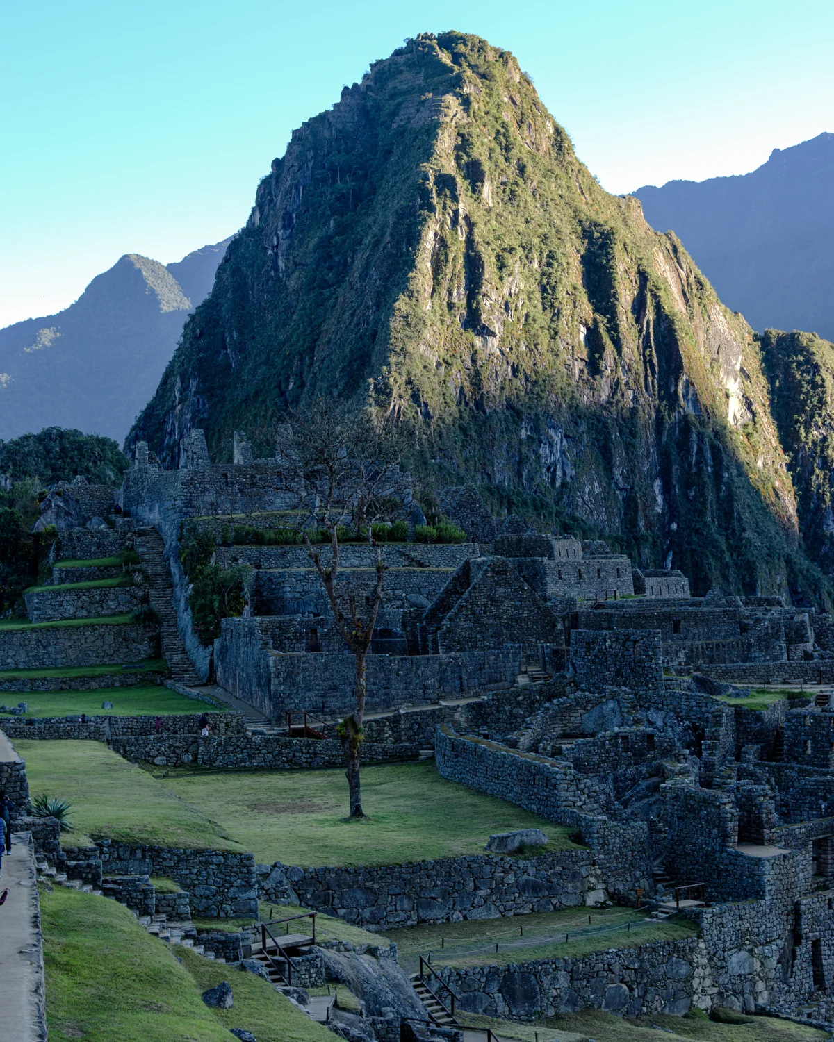
Photograph by Brandon Wichmann
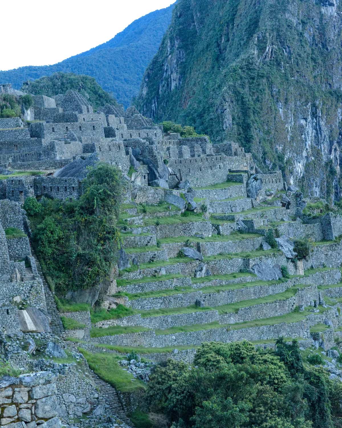
Photograph by Brandon Wichmann
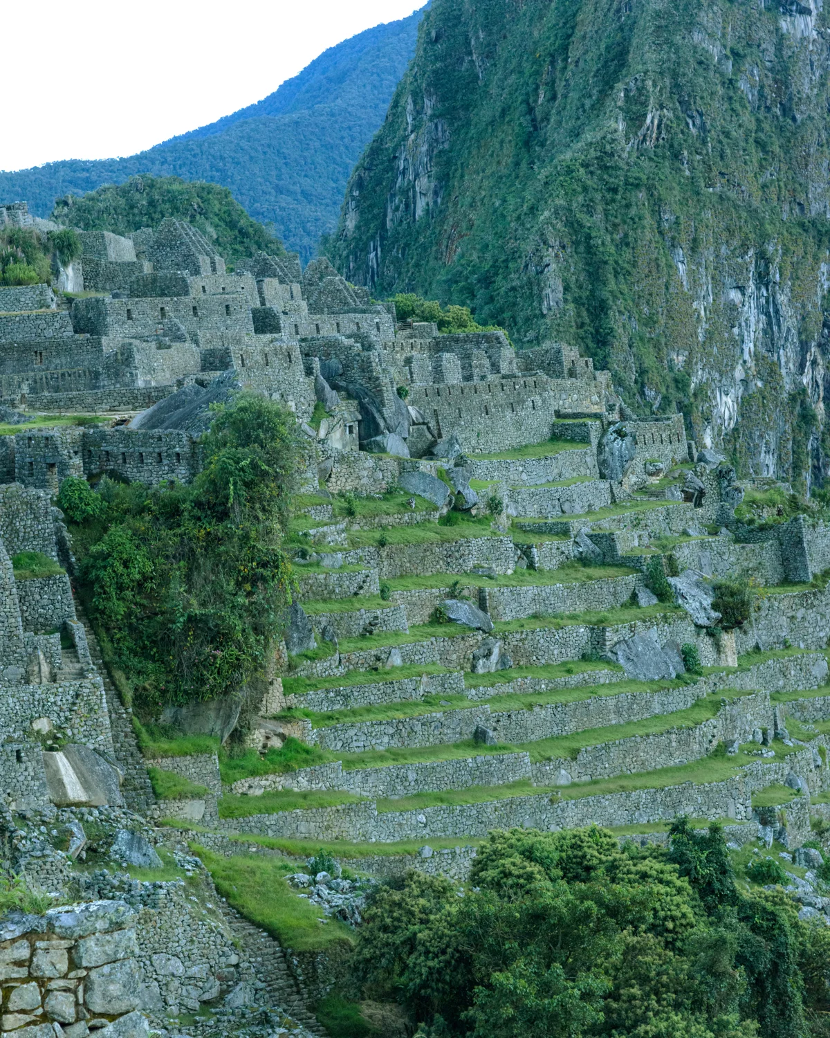
Photograph by Brandon Wichmann
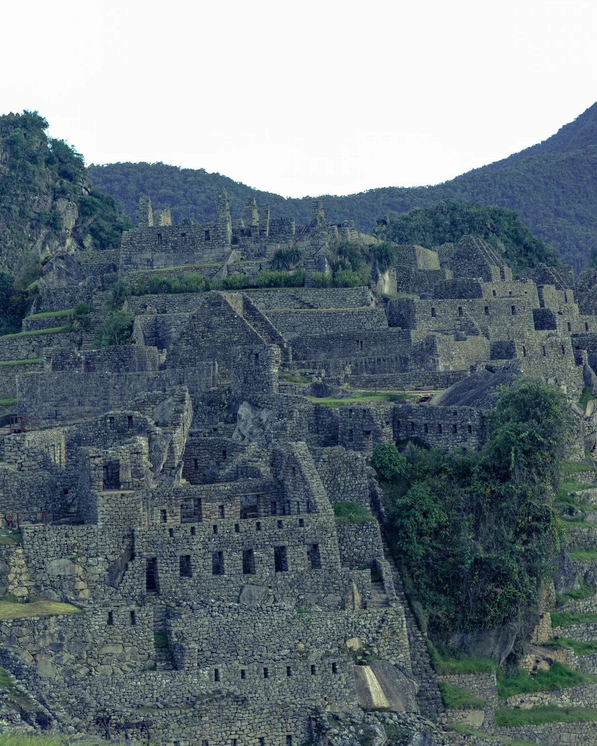
Photograph by Brandon Wichmann
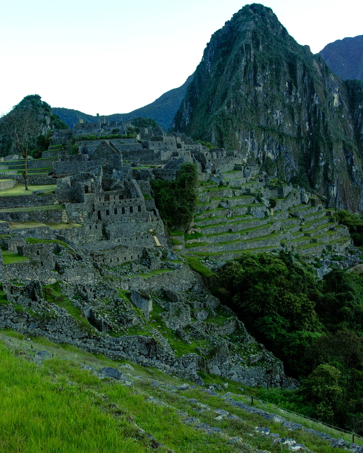
Photograph by Brandon Wichmann
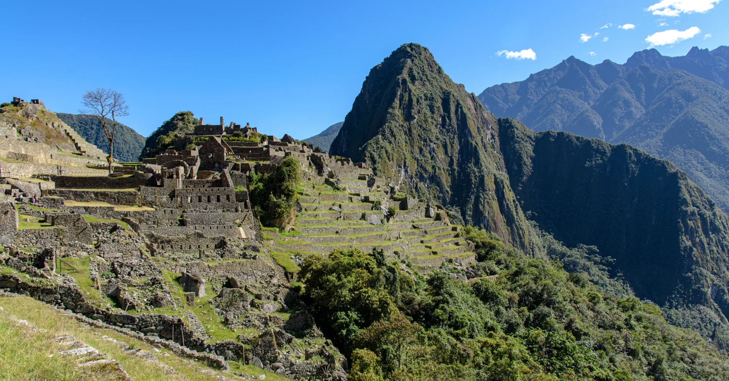
Photograph by Brandon Wichmann
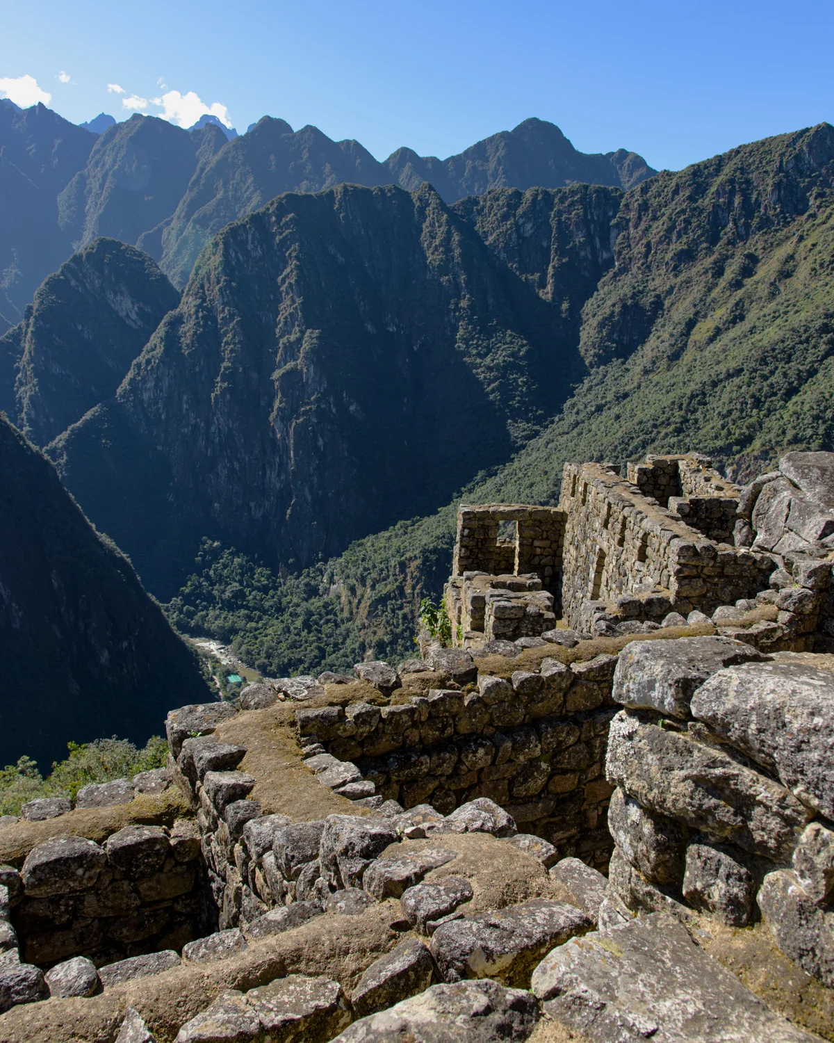
Photograph by Brandon Wichmann
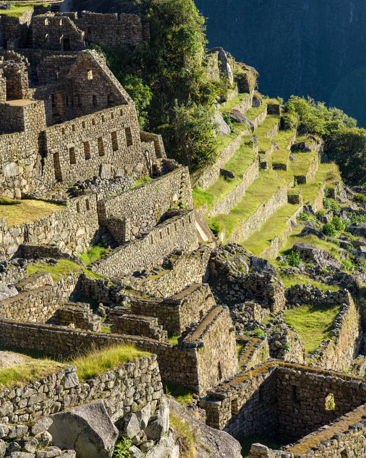
Photograph by Brandon Wichmann
Photograph by Brandon Wichmann
Photograph by Brandon Wichmann
Photograph by Brandon Wichmann
Photograph by Brandon Wichmann
Photograph by Brandon Wichmann
Photograph by Brandon Wichmann
Photograph by Brandon Wichmann
Photograph by Brandon Wichmann
Photograph by Brandon Wichmann
Photograph by Brandon Wichmann
Photograph by Brandon Wichmann
Photograph by Brandon Wichmann
Photograph by Brandon Wichmann
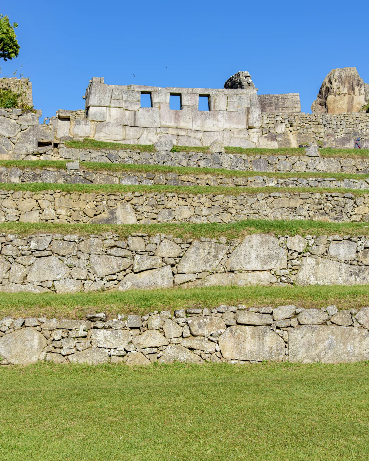
Photograph by Brandon Wichmann
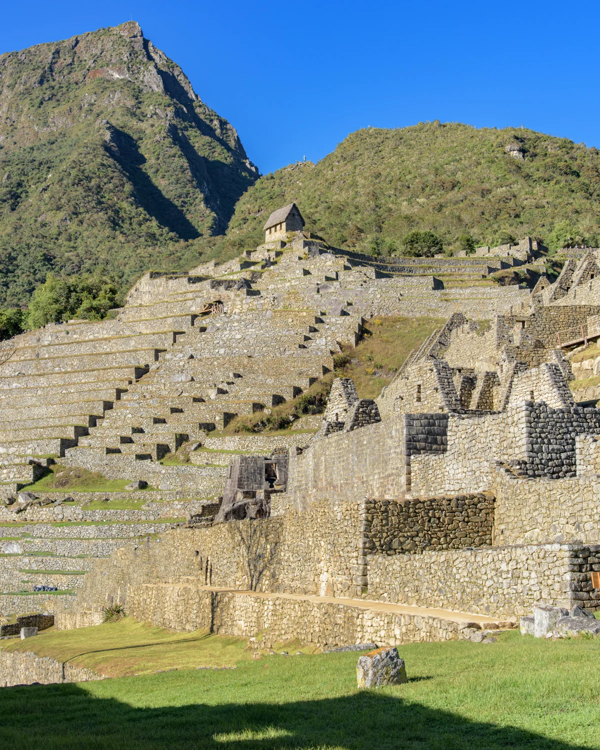
Photograph by Brandon Wichmann
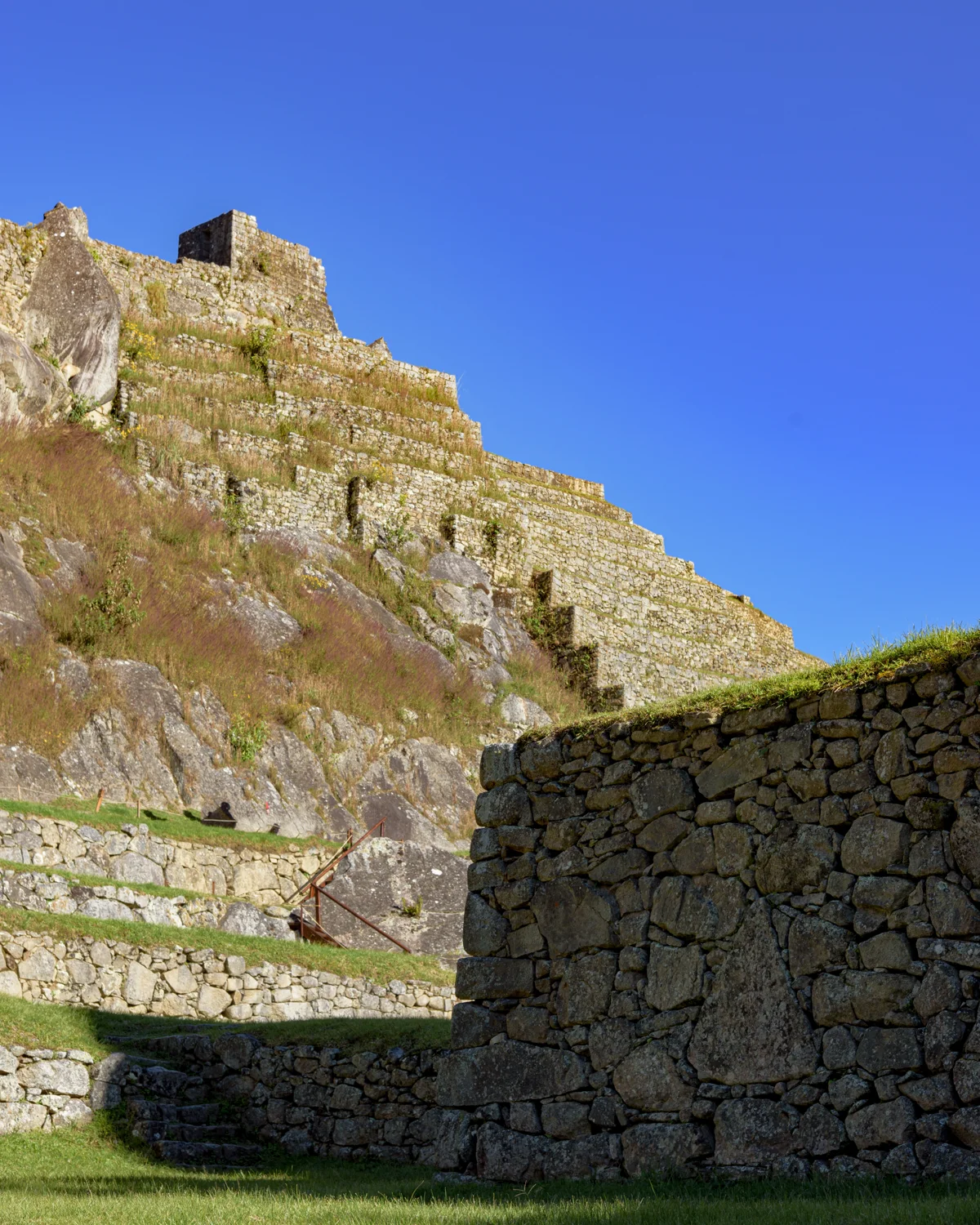
Photograph by Brandon Wichmann
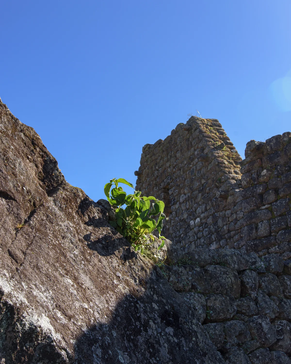
Photograph by Brandon Wichmann
Photograph by Brandon Wichmann
Photograph by Brandon Wichmann
Photograph by Brandon Wichmann
Photograph by Brandon Wichmann
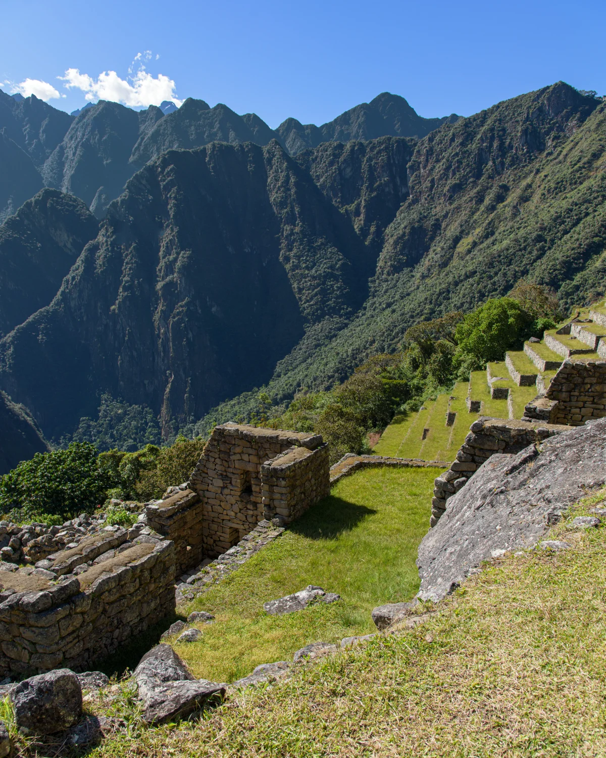
Photograph by Brandon Wichmann
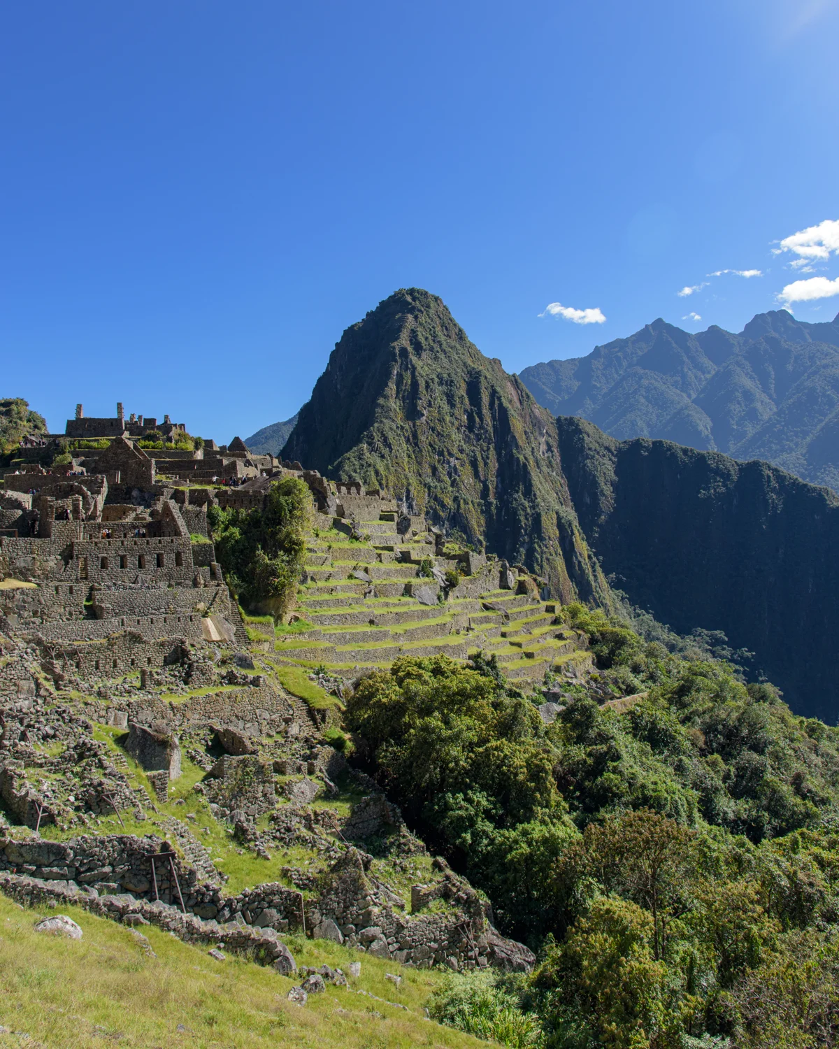
Photograph by Brandon Wichmann
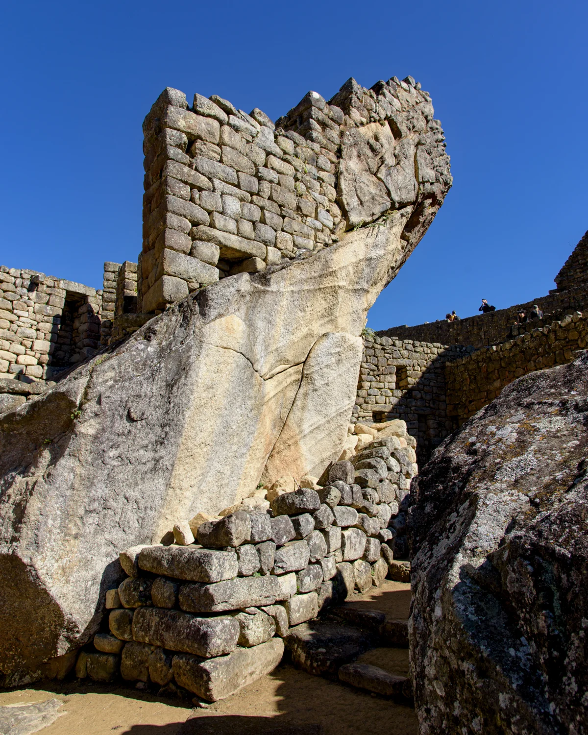
Photograph by Brandon Wichmann
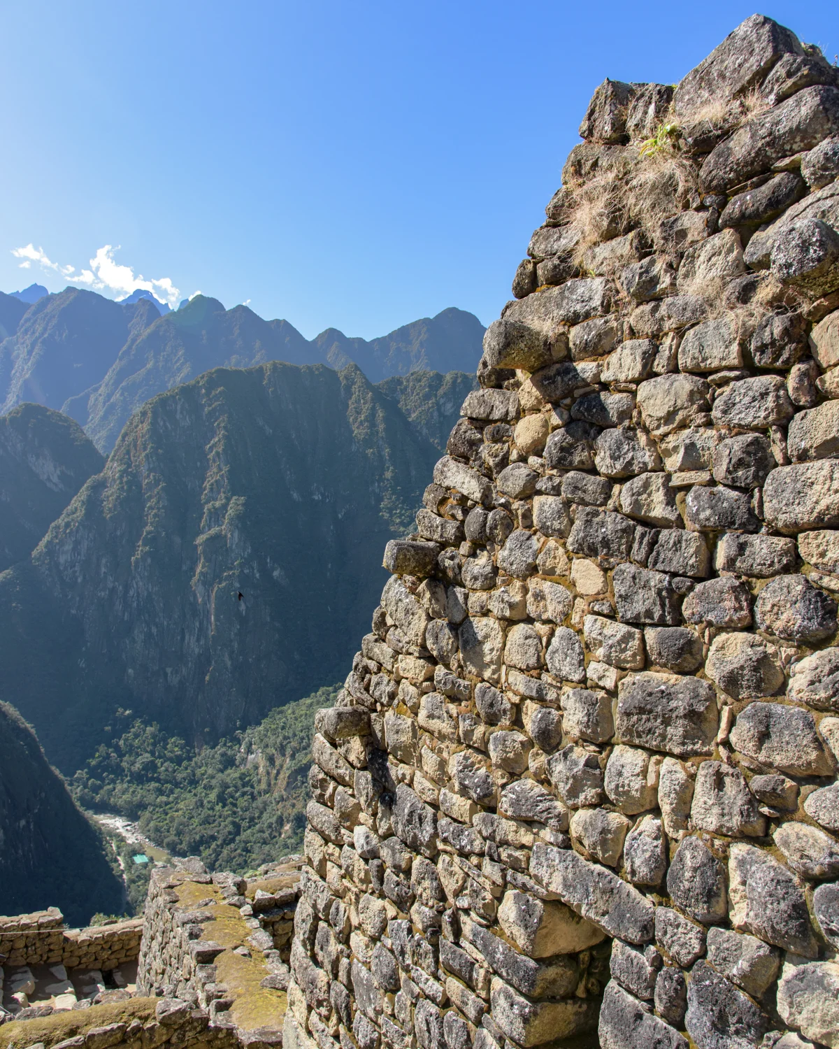
Photograph by Brandon Wichmann
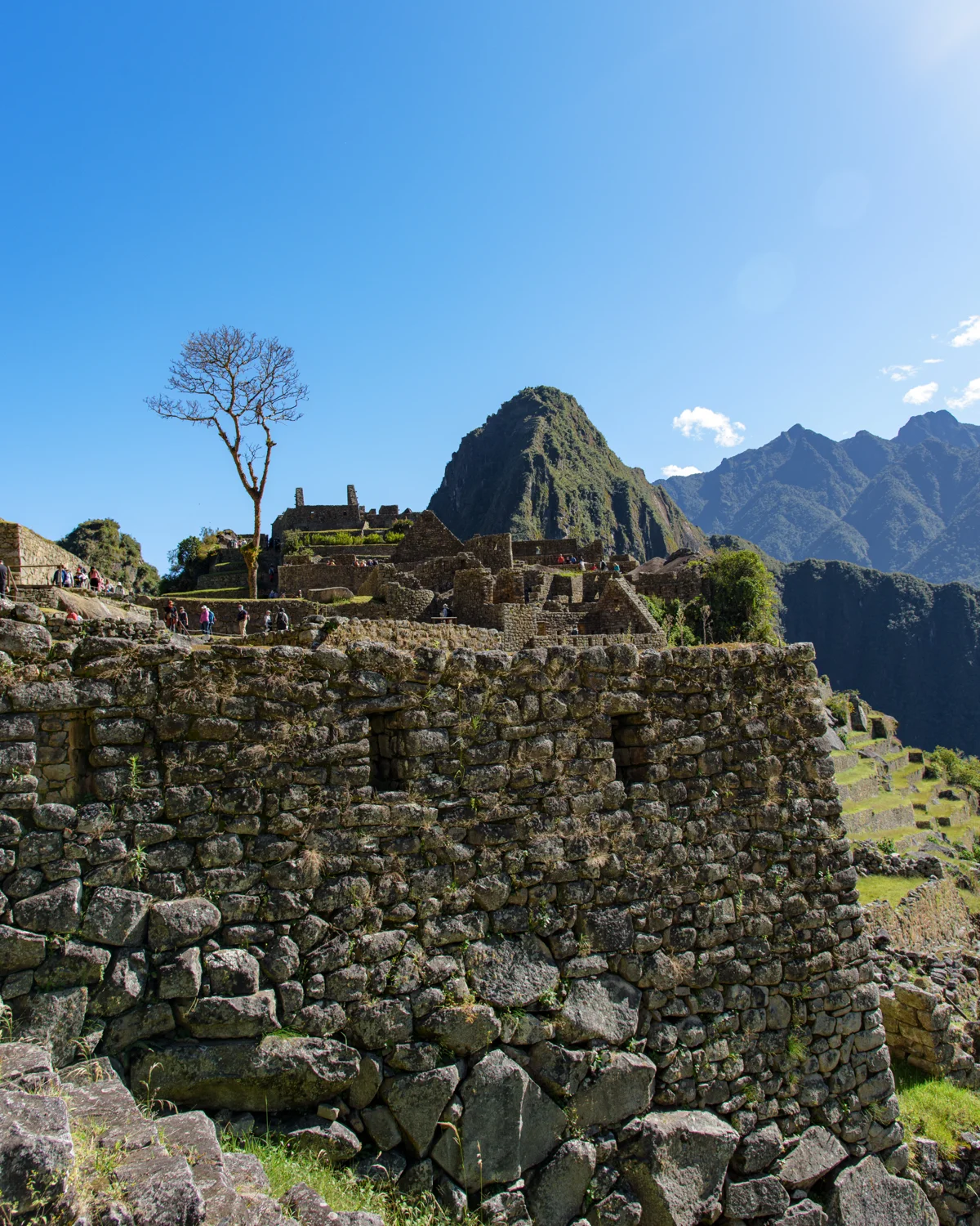
Photograph by Brandon Wichmann
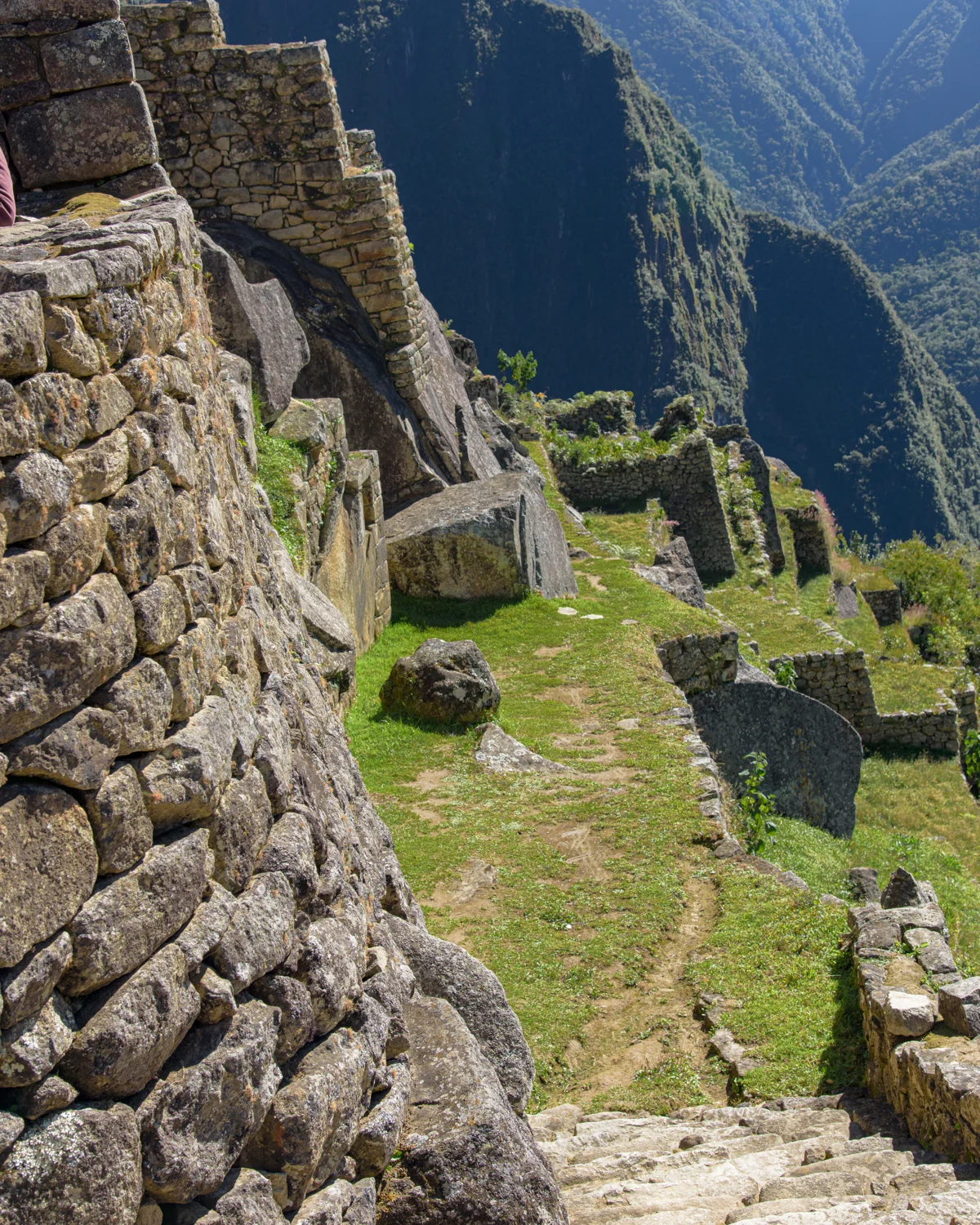
Photograph by Brandon Wichmann
Sources & further reading
Historical context is drawn from the sources below. Observations about the photographs and personal recollections are my own.