01 · 3 photographs
Salapunku
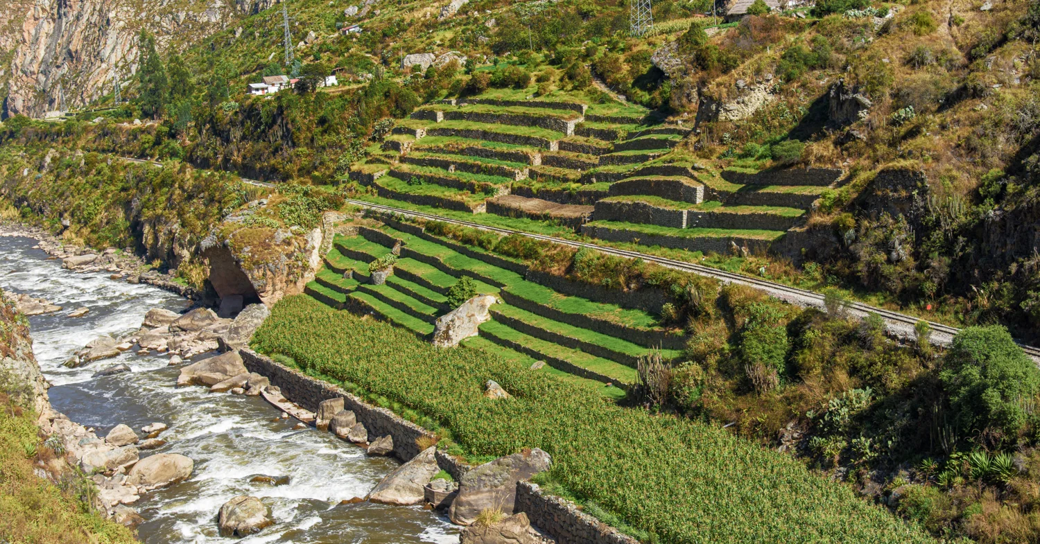
Terraces beside the Vilcanota
Explore this site →Peru · An illustrated field guide
Terraces shaped around mountains. Passages disappearing into mist. A city revealed at the end of the walk.
Explore the places behind my July 2025 photographs, with a closer look at the architecture and landscape of each ruin.
Explore the ruins ↓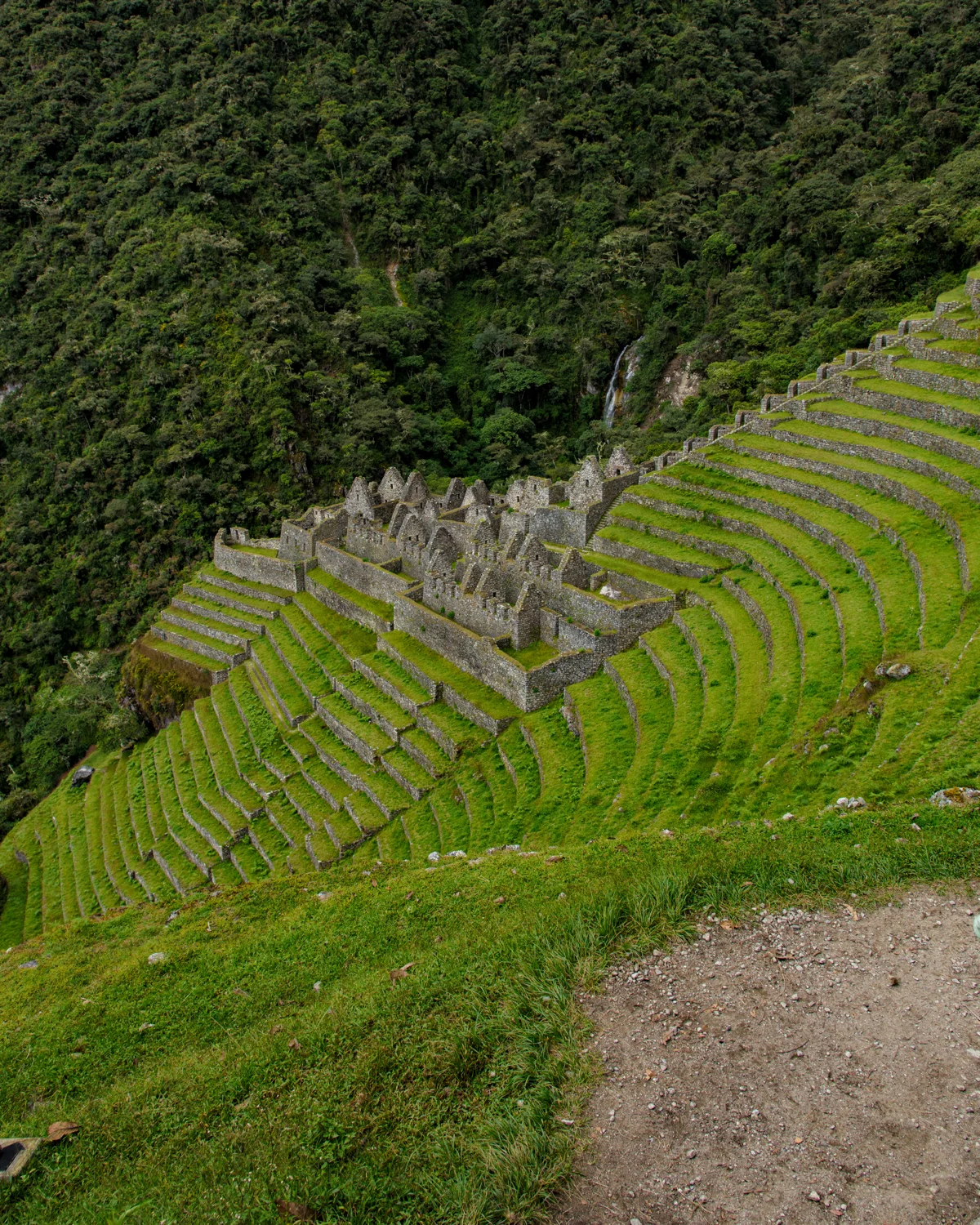
The classic Inca Trail connects far more than a starting point and Machu Picchu. Its archaeological sites reveal cultivated slopes, settlements, water features and paths adapted to steep terrain. This guide follows the main sites along that route; it is not an inventory of every ruin in the wider sanctuary.
Read the sites in trail order below, or choose a photograph that catches your eye. For the personal story of the walk, visit my four-day Inca Trail hiking guide.
Terraces beside the Vilcanota
Explore this site →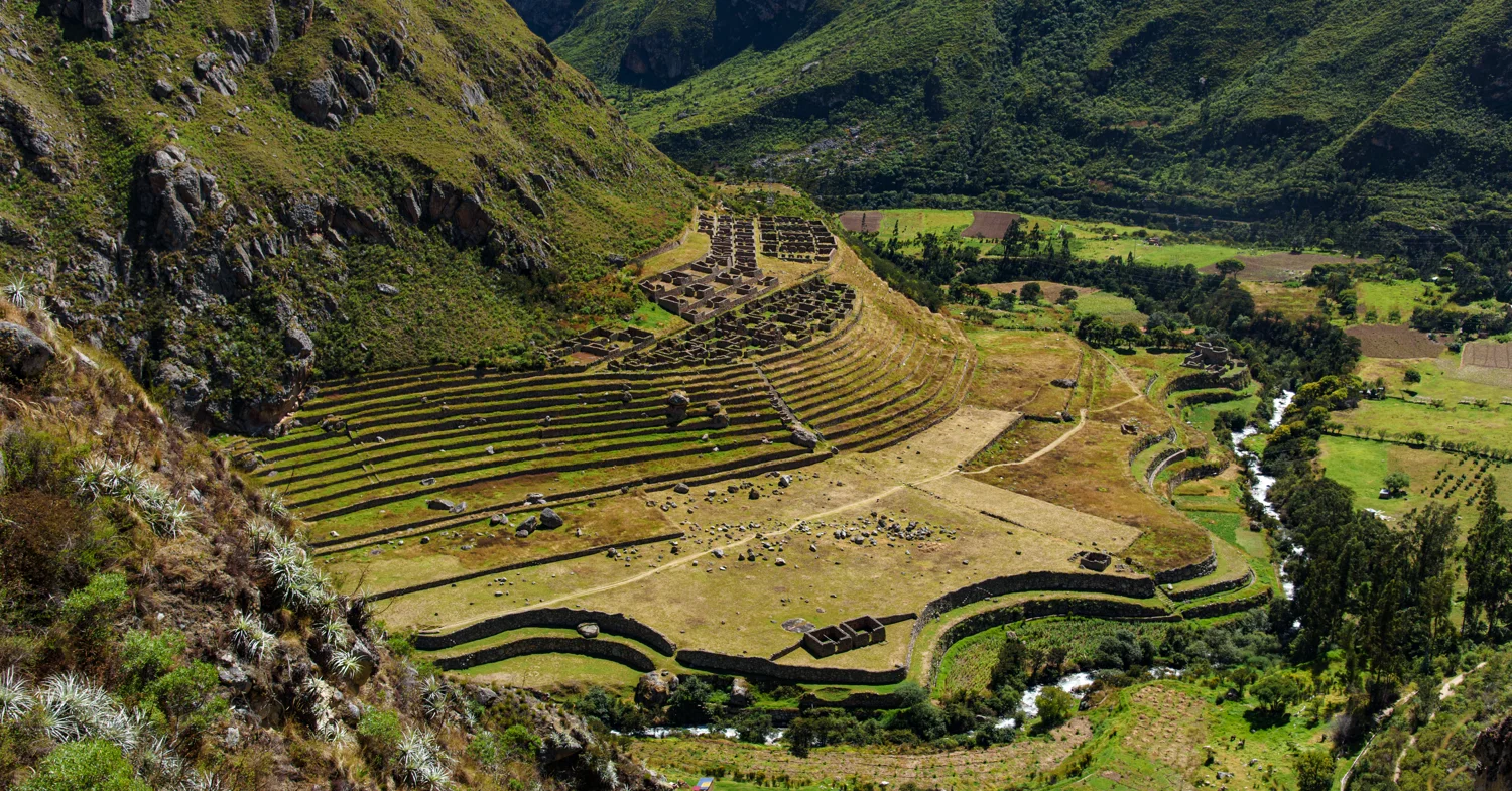
The valley that fed the journey
Explore this site →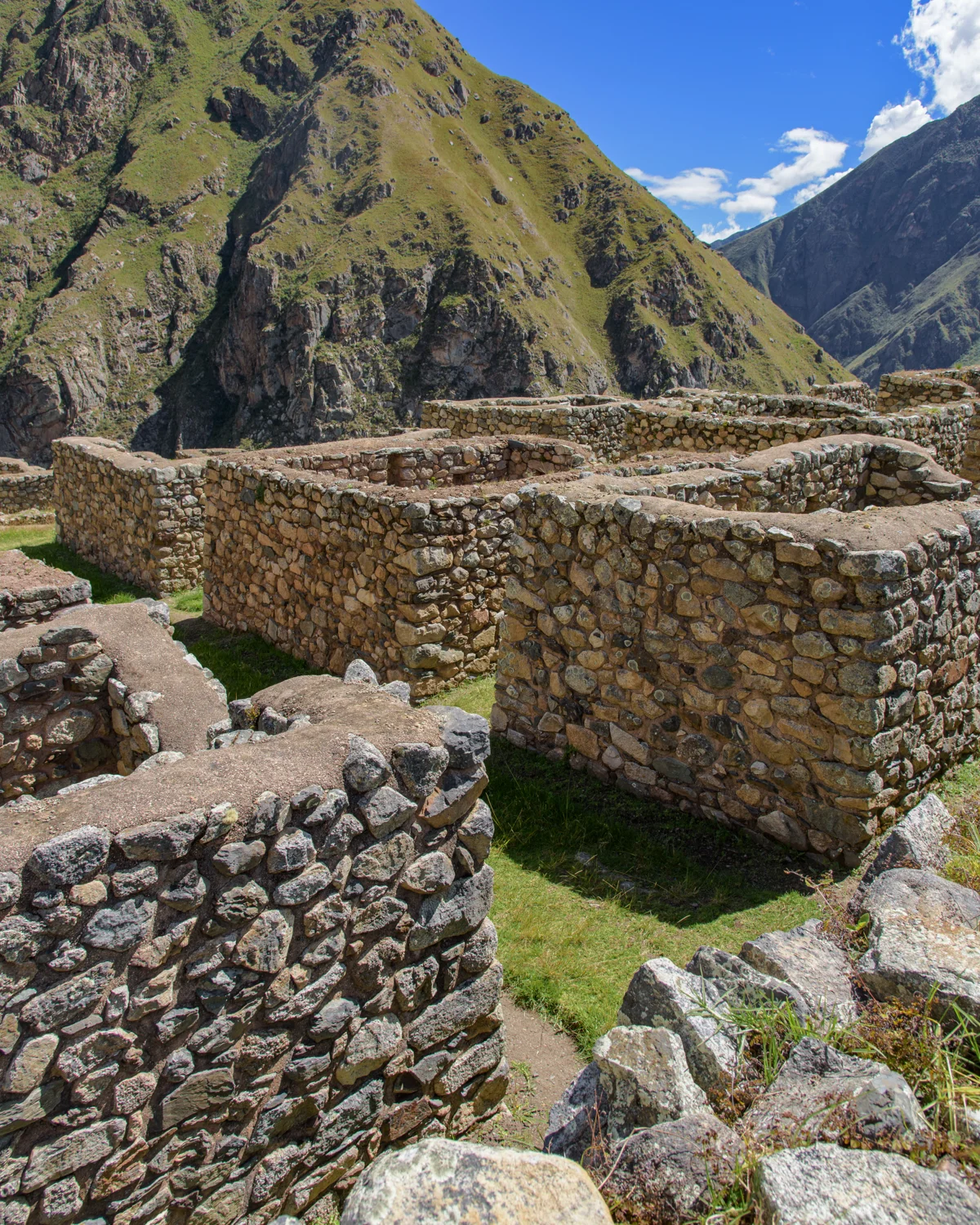
Above the valley settlement
Explore this site →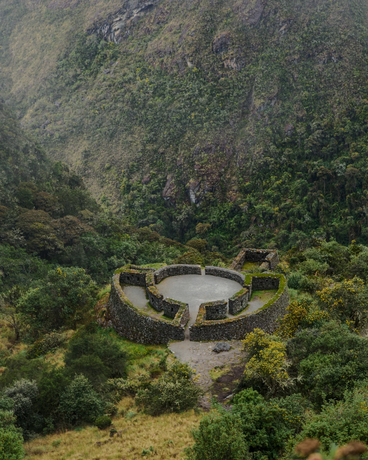
A circle on the mountainside
Explore this site →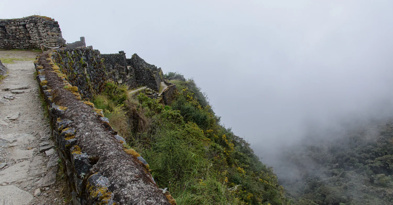
Stone passages at the edge of the clouds
Explore this site →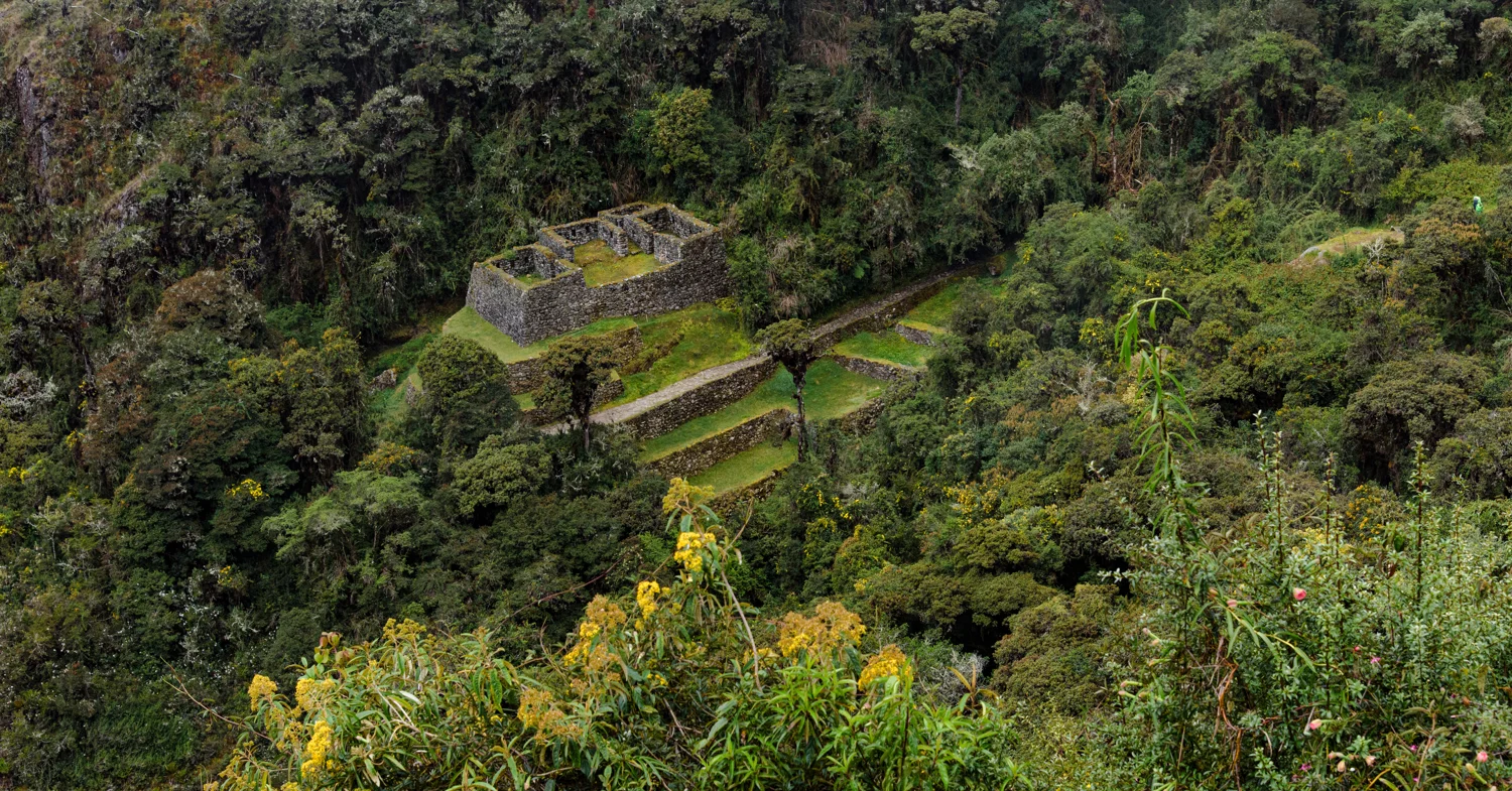
A smaller site between larger landmarks
Explore this site →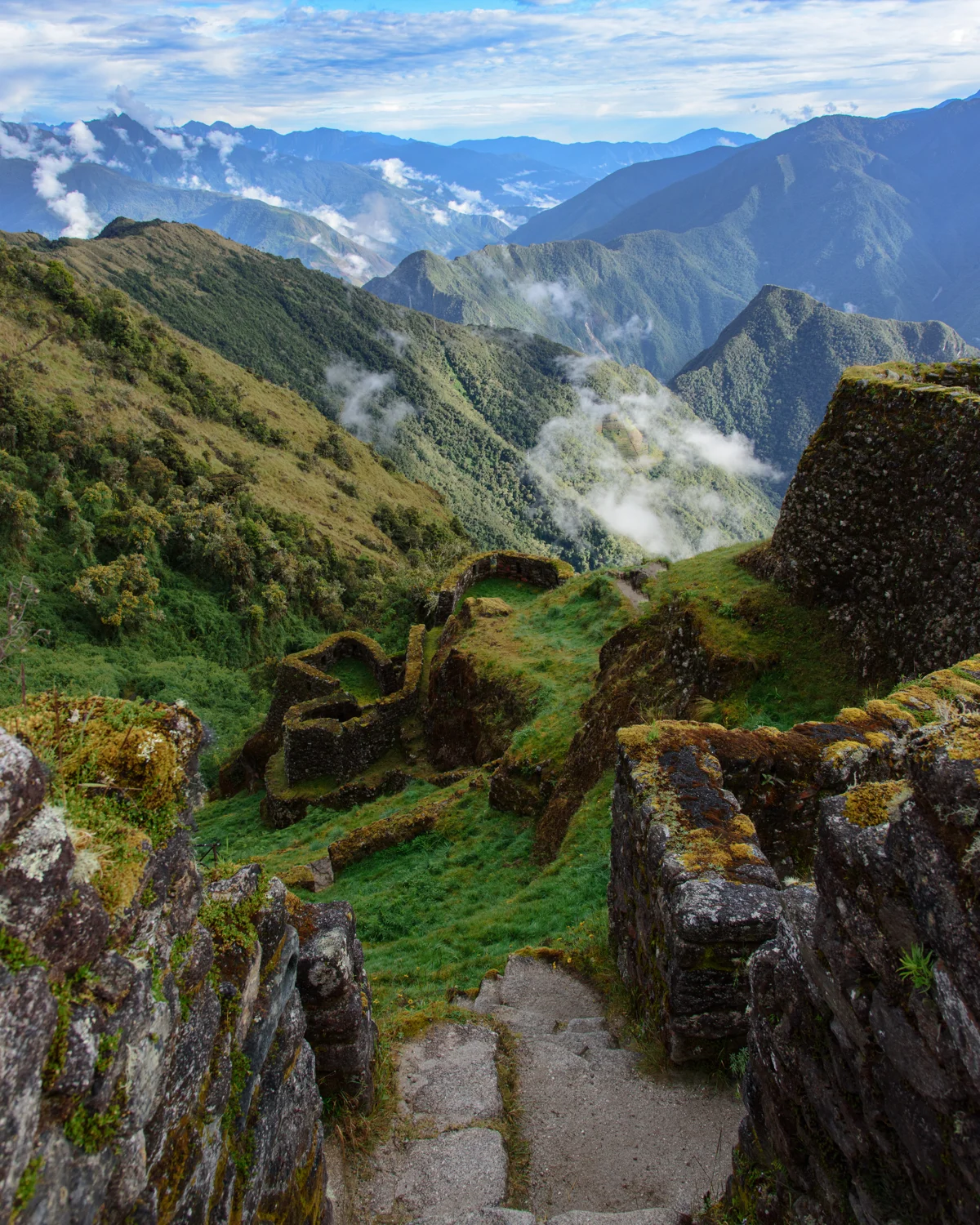
Terraces above the cloud forest
Explore this site →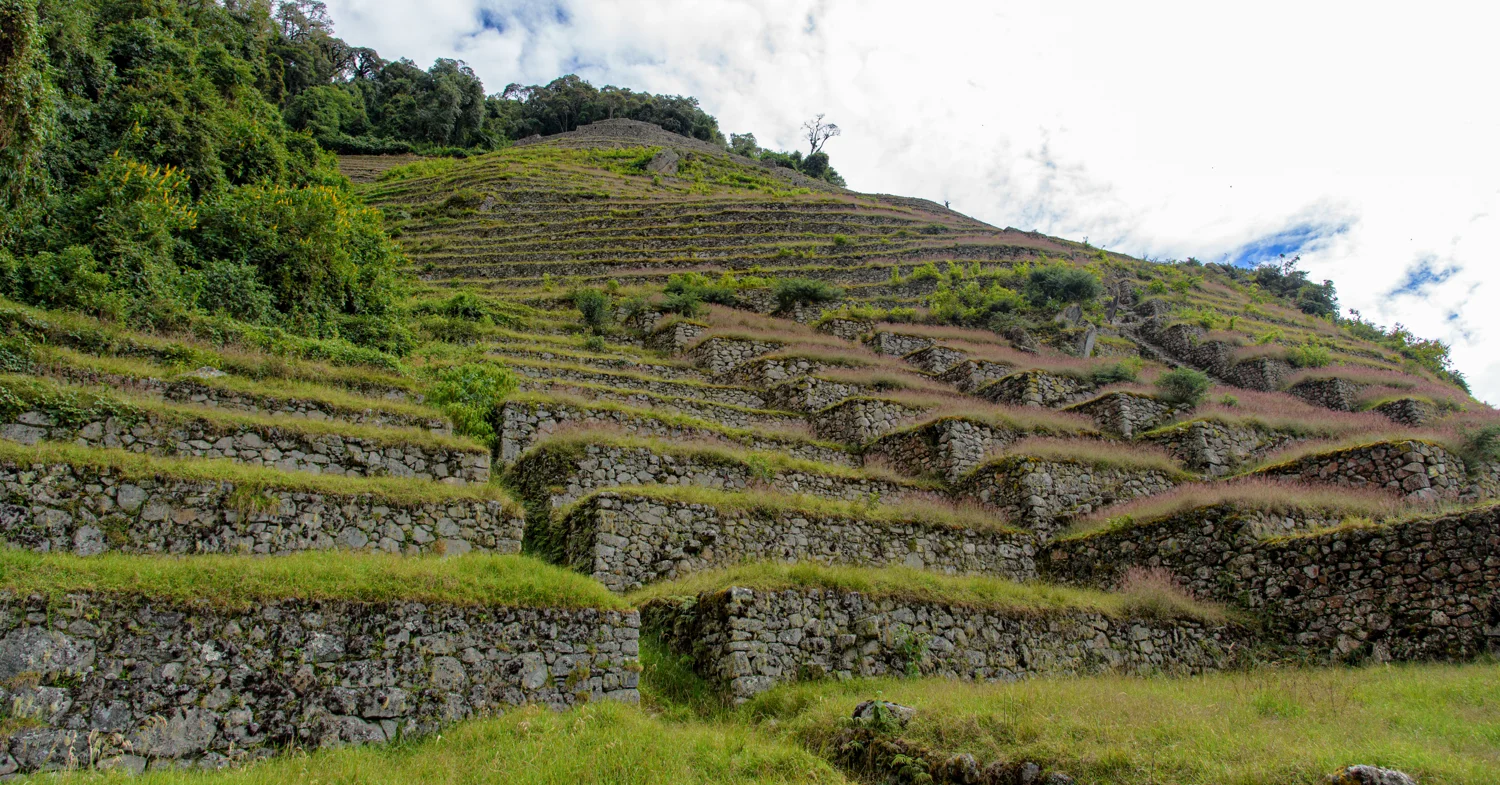
A mountainside made of terraces
Explore this site →Buildings, terraces and the green hillside
Explore this site →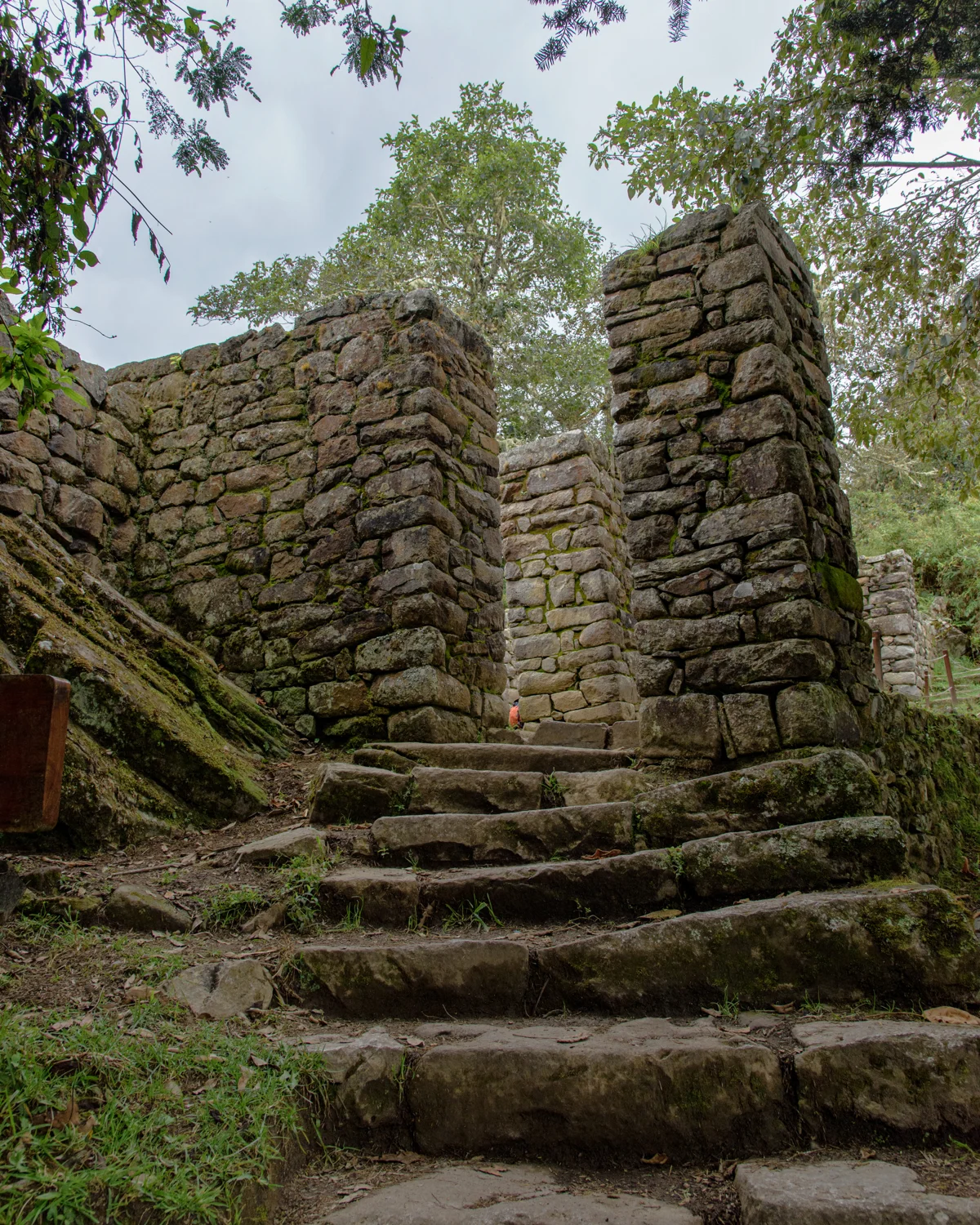
The Sun Gate and the first view
Explore this site →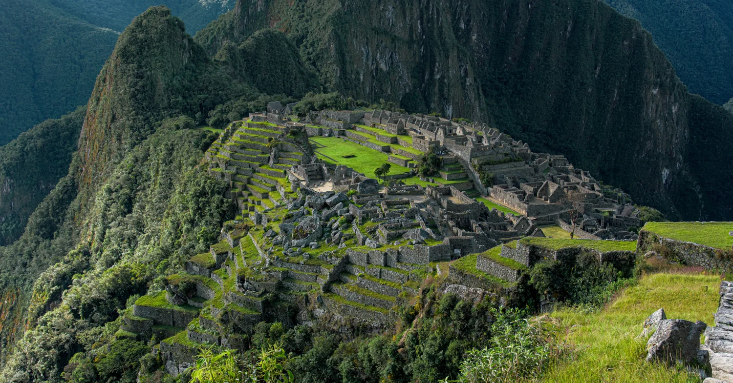
The city within the mountains
Explore this site →The site galleries combine my labeled photo sequences with visual comparisons of recognizable architecture. Close details remain described as stonework or passages when a particular building cannot be identified. The Conchamarca and Sun Gate sequences complete the photographic coverage of the eleven sites.
These are educational pages, not a navigation map. For the wider cultural and natural setting, see UNESCO’s Historic Sanctuary of Machu Picchu overview.