Sacred Valley · Maras plateau
Moray
An agricultural landscape drawn in circles
Moray turns a depression in the landscape into a sequence of concentric terraces. Seen together, the circles, steps and surrounding mountains reveal an extraordinary way of shaping land for cultivation.
Explore 12 photographs ↓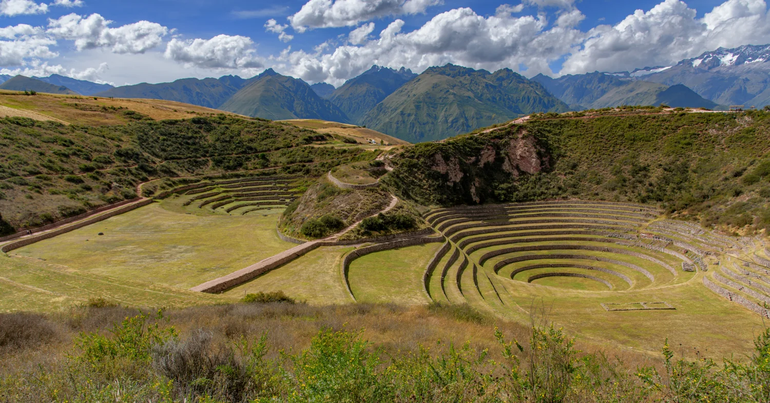
More than an amphitheatre
The resemblance to an amphitheatre is striking, but COSITUC describes Moray as an agricultural complex: natural depressions were reshaped with concentric terraces, artificial level surfaces and water infrastructure. Its circular form is therefore a starting point for understanding cultivation, rather than evidence of a theatre. The setting matters as much as the geometry: the terraces sit below the surrounding plateau, with different exposures to sun, shade and wind. [1]
The agricultural-experiment interpretation
Moray is often described as an Inca agricultural laboratory. Research summarized in Peru’s central bank publication on ancient economic history examines how terrace geometry and position relate to soil-temperature variation. That gives the experimental interpretation a meaningful basis, but it is not the same as having a surviving record of exactly which crop was tested on every level. Treat the familiar laboratory label as an interpretation of the site’s design and environmental conditions, rather than a complete account of its operation. [2]
What makes Moray special
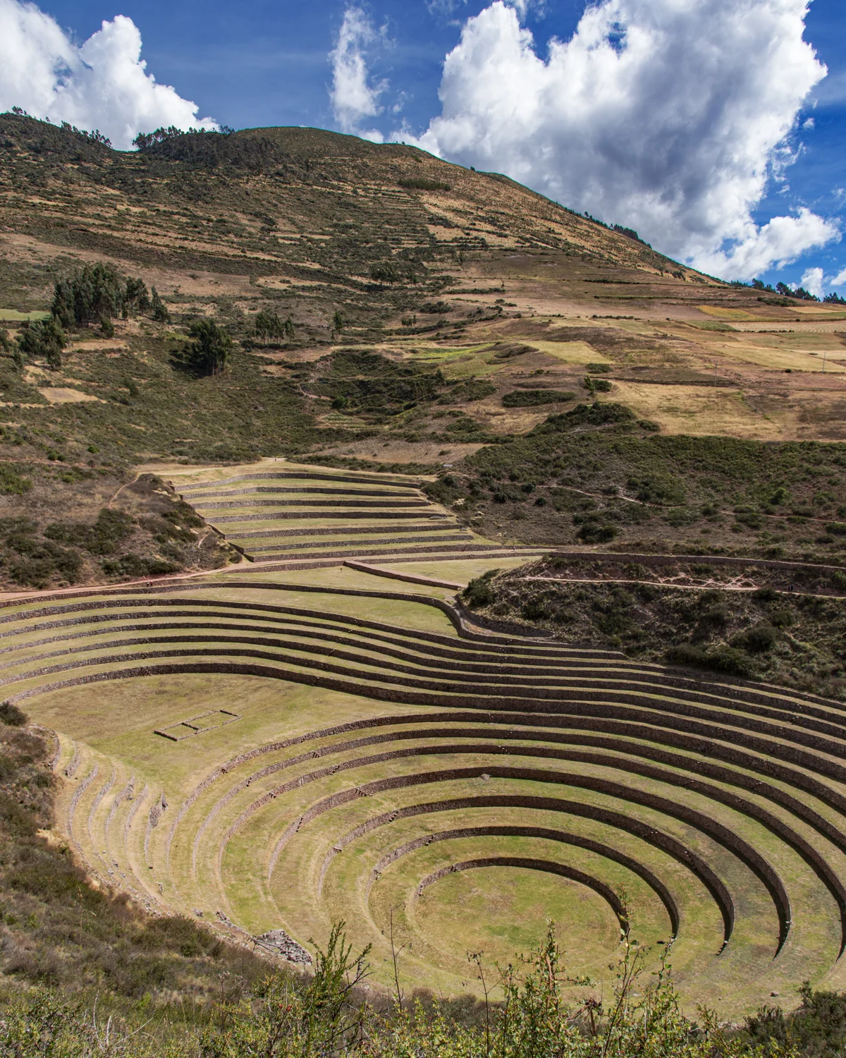
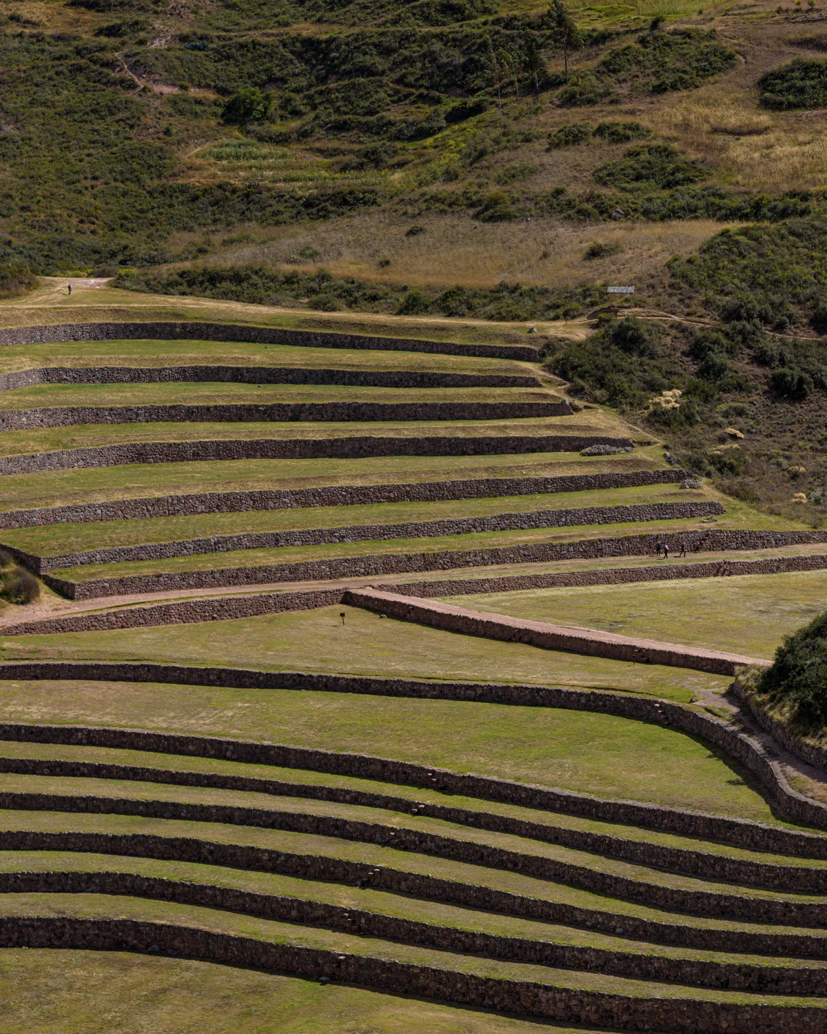
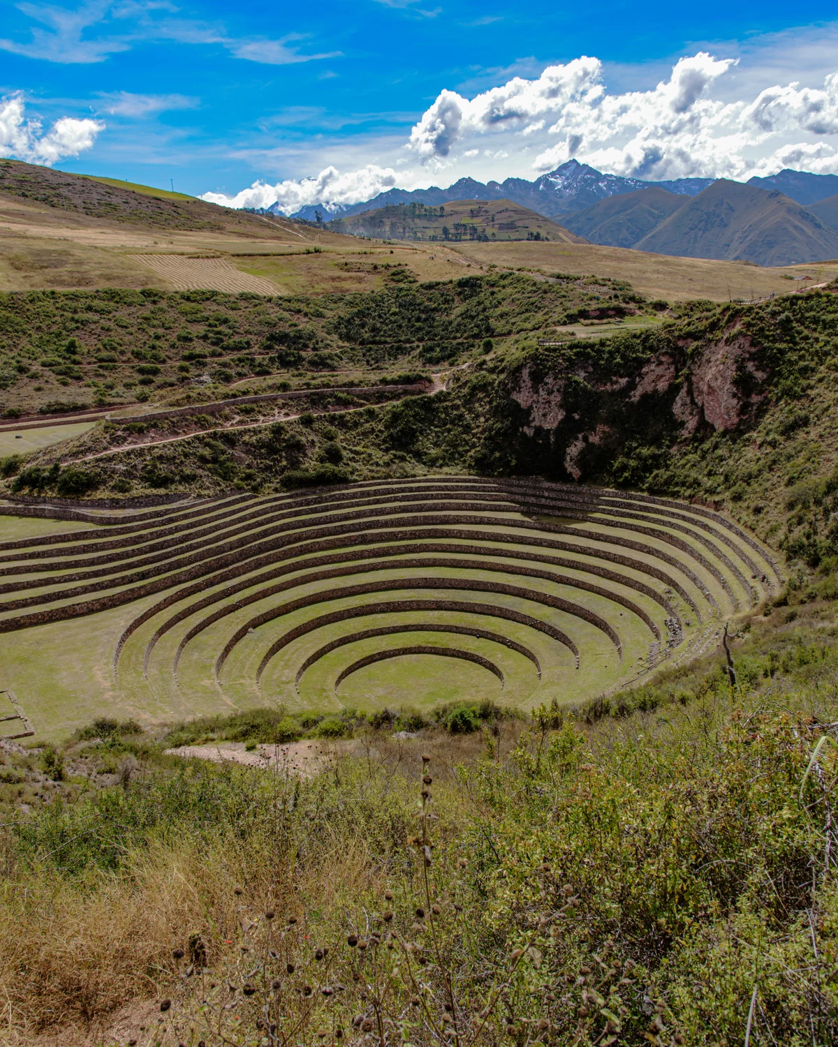
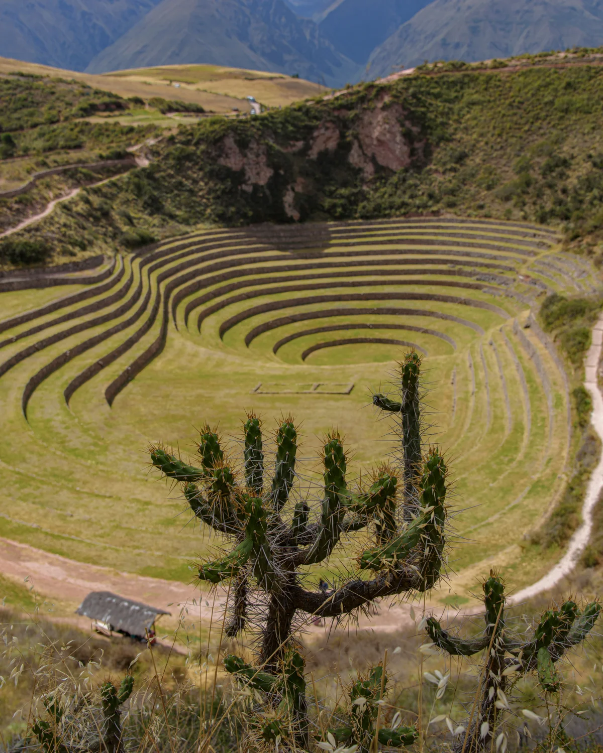
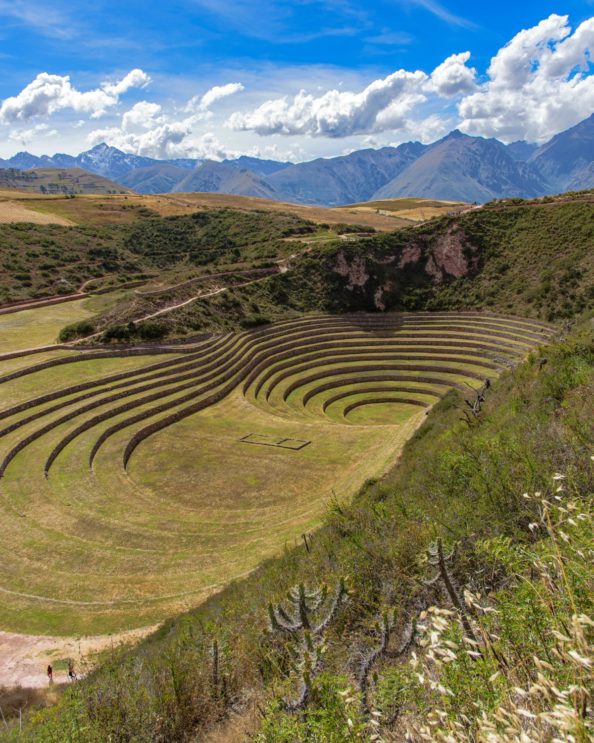
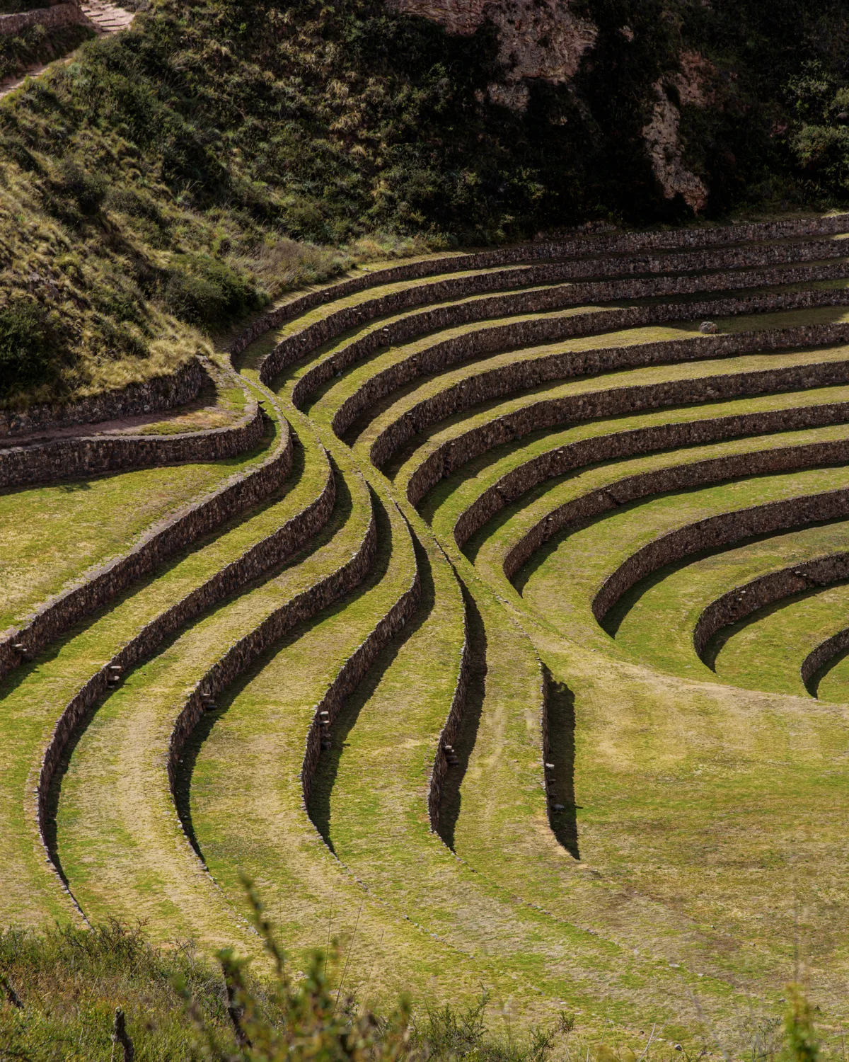
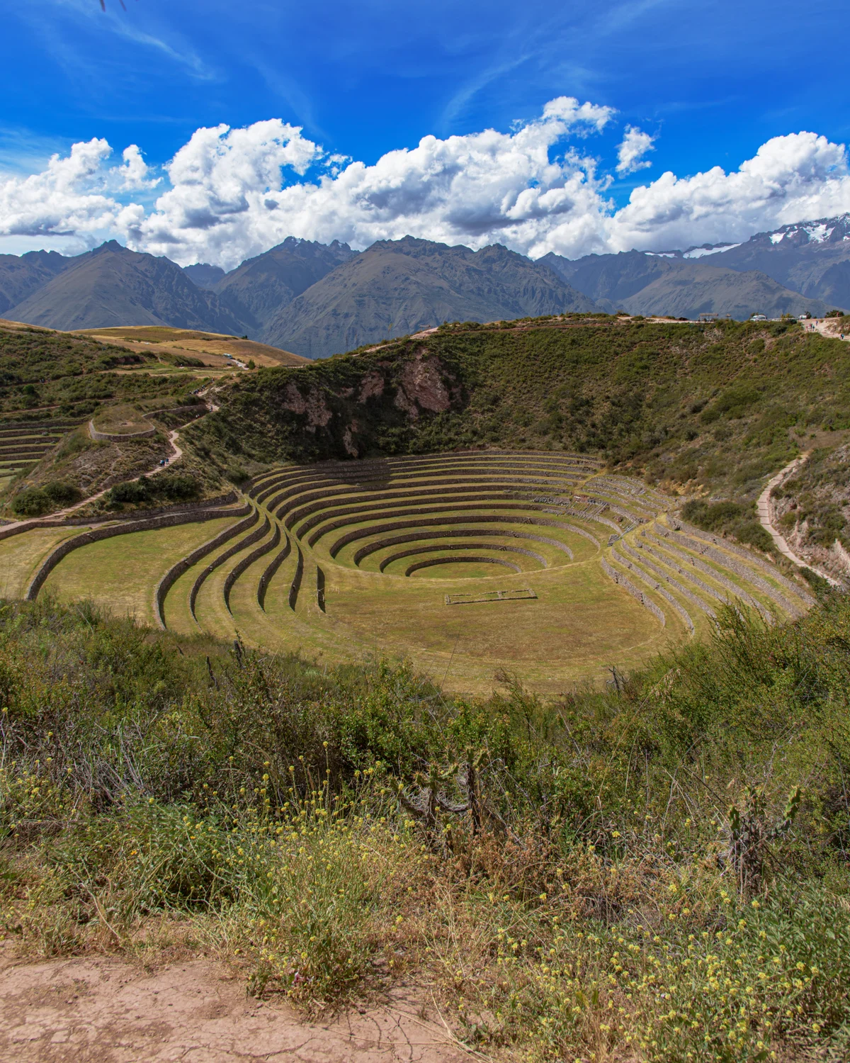
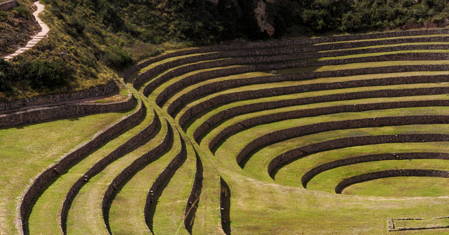
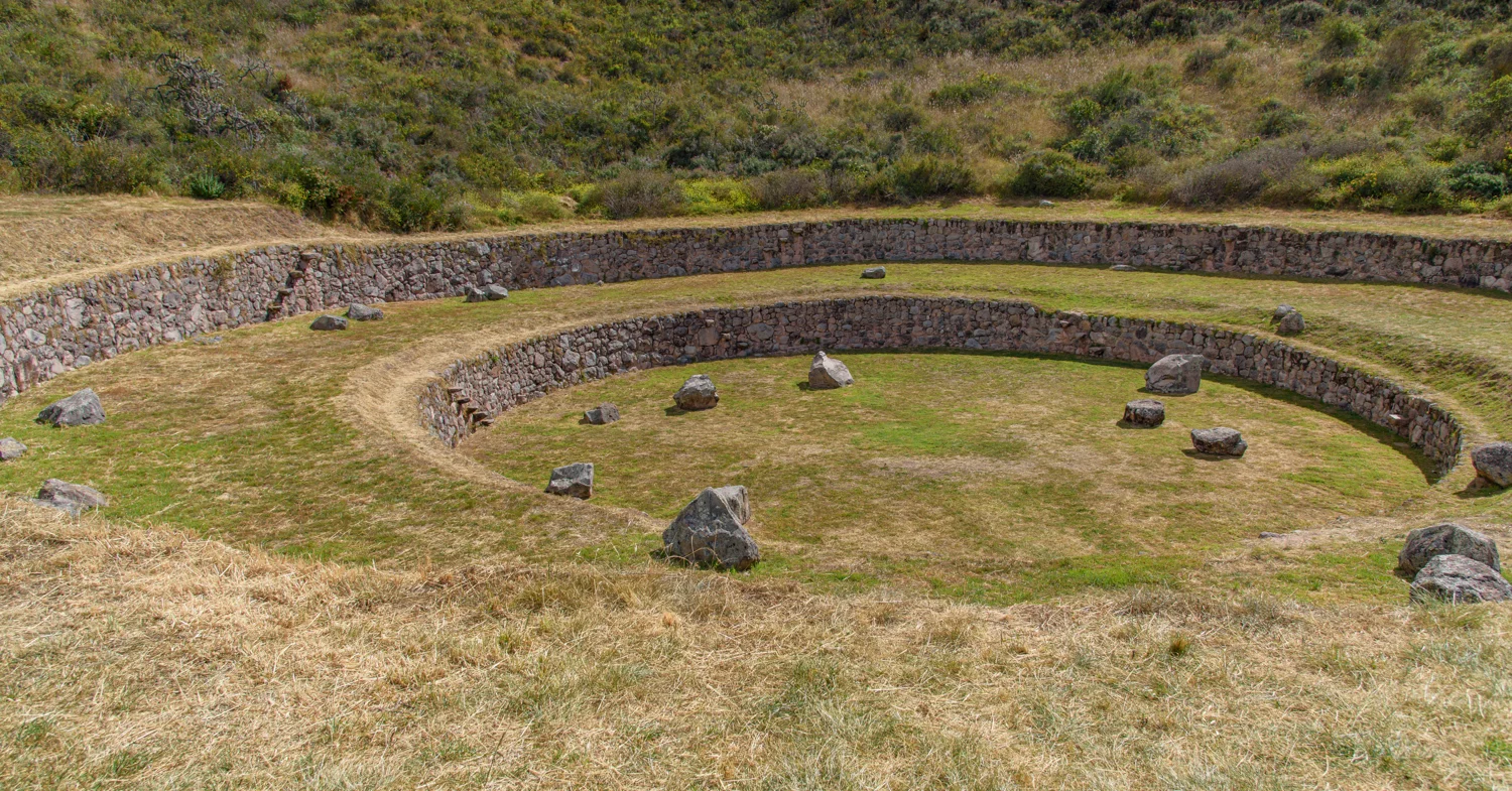
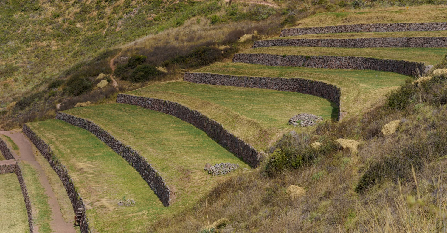
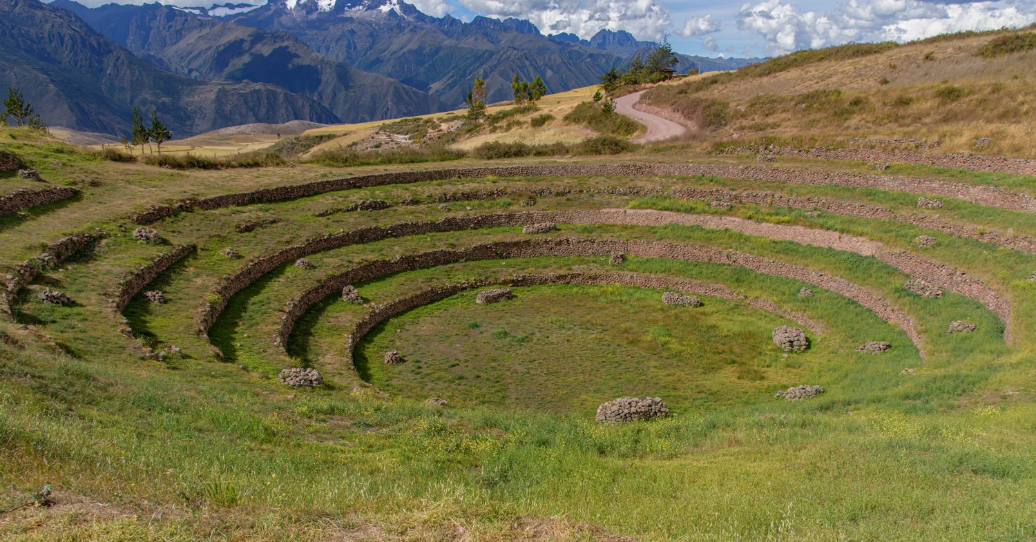
These photographs let you follow the transition from complete circles to arcs that open against the hillside. The terraces do not simply repeat a pattern: their curves answer the shape of the depression. In the wider frames, the mountains restore a sense of scale that the close views can lose. In the tighter studies, light separates one level from the next and makes the earthwork read almost like a contour drawing.
How to read the photographs
Start with the wide view, then compare the stepped passages with the uninterrupted curves. Look for where terrace edges change direction and where the ground above the rings becomes open plateau. The photographs show the visible form; they cannot establish a particular crop, temperature difference or ritual purpose on their own.
Look more closely
- Trace the terrace edges through a complete circle and an open arc.
- Compare the narrow stair lines with the broad cultivation surfaces.
- Use the surrounding skyline to understand how far the terraces sit below the plateau.
Moray in photographs
Select a photograph to open its full frame.
Photograph by Brandon Wichmann
Photograph by Brandon Wichmann
Photograph by Brandon Wichmann
Photograph by Brandon Wichmann
Photograph by Brandon Wichmann
Photograph by Brandon Wichmann
Photograph by Brandon Wichmann
Photograph by Brandon Wichmann
Photograph by Brandon Wichmann
Photograph by Brandon Wichmann
Photograph by Brandon Wichmann
Photograph by Brandon Wichmann
Sources & further reading
Research supports the historical context; observations of the photographs are my own. Interpretations are distinguished from visible features.